Glaciers
Science
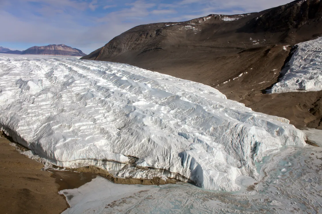
What is the lifecycle of a glacier, and what factors influence its lifecycle? The amount of precipitation, whether in the form of snowfall, freezing rain, avalanches, or wind-drifted snow, is important to glacier survival. For instance, in very dry parts of Antarctica, low temperatures are ideal for glacier growth, but the small amount of net annual precipitation causes the glaciers to grow very slowly, or even to disappear because of sublimation, when solids transition directly to gas.
Growing
A glacier forms when snow accumulates over time, turns to ice, and begins to flow outwards and downwards under the pressure of its own weight.
In their upper parts, glaciers generally accumulate more snow than they lose from melting, evaporation, or calving. If the accumulated snow survives one melt season, it forms a denser, more compressed layer called firn. The snow and firn are further compressed by overlying snowfall, and the buried layers slowly grow together to form a thickened mass of ice.
Each year’s new snowfall continues to compact the underlying layers, and the snow grains become larger ice crystals randomly oriented in connected air spaces. These ice crystals can eventually grow to become several centimeters in diameter.
As compression continues and the ice crystals grow, the air spaces in the layers decrease, becoming small and isolated. This compaction compresses more air spaces out of the snowpack, and compacts the remaining air into bubbles. At greater depth (hundreds of meters), the air in these bubbles occupies smaller spaces the crystal structure of the ice. Thus, dense glacial ice has no air bubbles, but contains trapped air nevertheless.
Moving forward
Under the pressure of its own weight, a glacier will begin to move, or flow, outwards and downwards. Valley glaciers flow down valleys, and continental ice sheets flow outward in all directions.
Glaciers move by internal deformation of the ice, and by sliding over the rocks and sediments at the base. The weight of overlying snow, firn, and ice, and the pressure exerted by upstream and downstream ice deforms glacier ice, in a phenomenon known as creep. A glacier may slide on a thin layer of water at its base. This water may come from glacial melting due to the pressure of the overlying ice, or from water that has worked its way through cracks in the glacier. Glaciers can also readily slide on a soft sediment bed that has some water in it. This is known as basal sliding and may account for most of the movement of thin, cold glaciers on steep slopes or only 10 to 20 percent of the movement of warm, thick glaciers lying on gentle slopes.
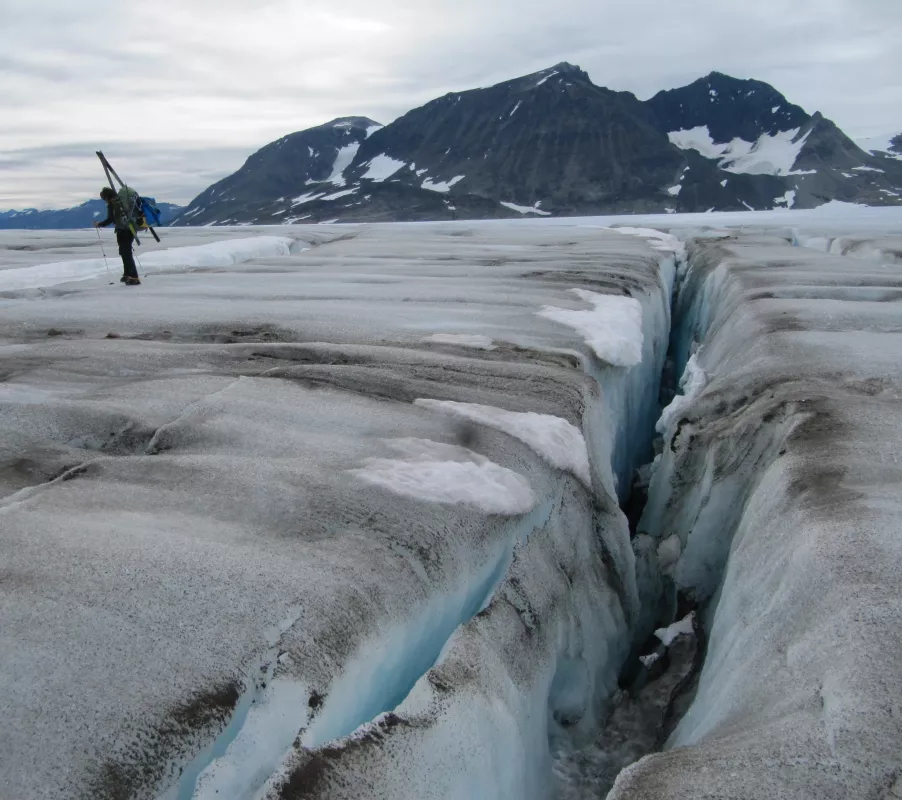
Accelerations caused by ice flowing over and around obstacles, as well as friction between ice and solid bedrock at glacier margins, create stresses that exceed the strength of ice. Under these conditions, ice fractures, creating crevasses
In retreat
Glacier retreat results from multiple causes, depending on the location: melt, ablation, evaporation, wind scouring, and calving. Ablation is a natural and seasonal part of glacier life. As long as snow accumulation equals or is greater than melt and ablation, a glacier will remain in balance or even grow. Once snowfall decreases, or melt increases, the glacier will begin to retreat. Some biological processes, such as microbes on the surface of a glacier, can reduce the glacier's ability to reflect sunlight back into space. These bio albedo processes can hasten glacier retreat.
As they flow, glaciers plow up or push aside rocks and debris, which are then left behind when the glacier recedes. Then, as large glaciers retreat, the underlying ground surface is typically abraded of most materials, leaving only scars and debris on the underlying bedrock surface.
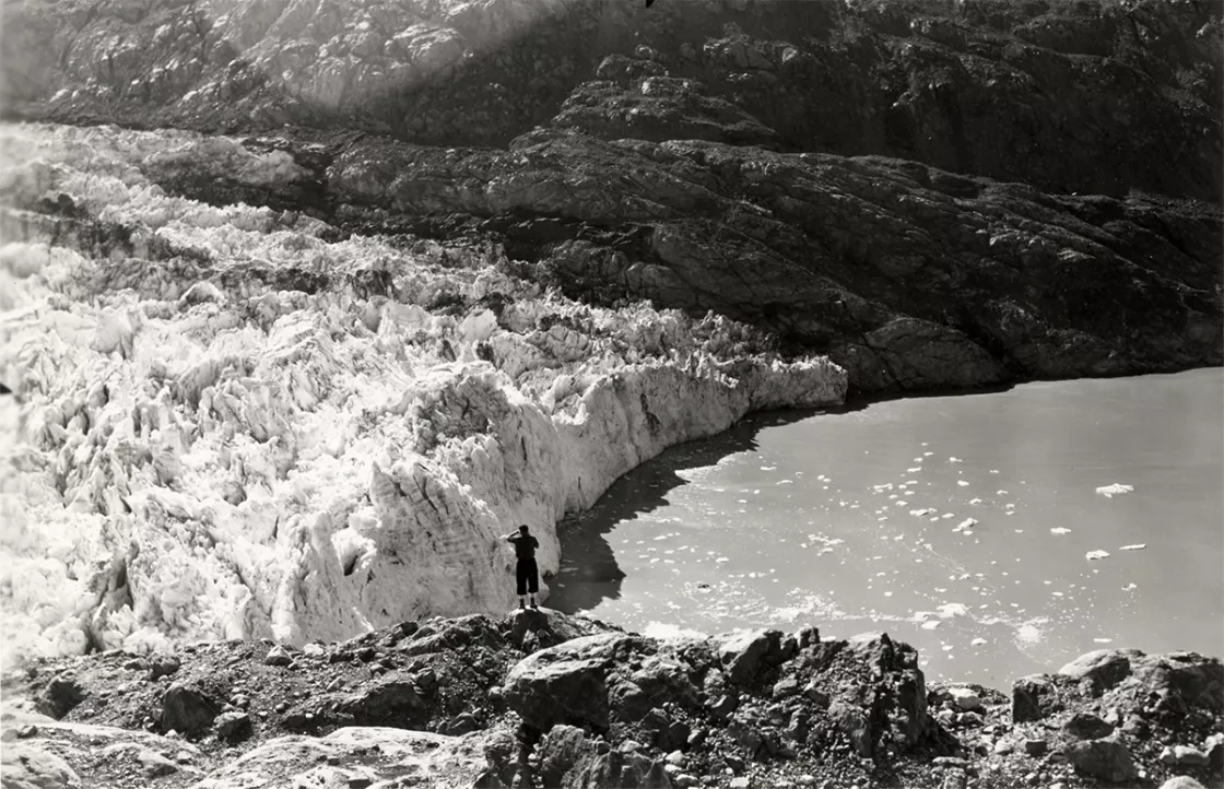
Over the past 60 to 100 years, glaciers worldwide have tended to retreat. Tidewater glaciers, which flow through valleys out to sea, are susceptible to retreat at the point where the ice meets relatively warm ocean water. Alpine glaciers, because of their relatively small size and sensitivity to changes in temperature and precipitation, seem particularly susceptible to retreat.
The World Glacier Monitoring Service (WGMS) has maintained long records of glacier mass balance—whether a glacier loses or gains mass over the course of a year. The WGMS tracks changes in 140 alpine glaciers, and 37 of them qualify as climate reference glaciers, with records spanning more than 30 years. The American Meteorological Society reported in State of the Climate in 2021 that alpine glaciers around the world continued to lose mass for the 34th consecutive year, with global glaciers over the last 13 consecutive years losing an average of 500 millimeters (19.7 inches) in water equivalent thickness. Overall, glacial melt mass loss is increasing. The average mass loss per decade was 214 millimeters (8.4 inches) in the 1980s, 499 millimeters (19.7 inches) in the 1990s, 527 millimeters in the 2000s (20.7 inches), and 896 millimeters (35.3 inches) in the 2010s.
In 2018, WGMS also recorded that from 1980 to 2018, the cumulative mass-balance change was a loss of 21.7 meters (71.2 feet), describing that change as “the equivalent of cutting a 24-meter-thick slice off the top of the average glacier.”
The causes of widespread retreat are varied, but the underlying primary causes are a warming climate and the effects of increased soot and dust in areas of higher agricultural and industrial activity.
How glaciers move
The sheer weight of a thick layer of ice, or the force of gravity on the ice mass, causes glaciers to flow. Ice is a soft material, in comparison to rock, and is much more easily deformed by this relentless pressure of its own weight. Ice may flow down mountain valleys, fan out across plains, or in some locations, spread out onto the sea. Movement along the underside of a glacier is slower than movement at the top due to the friction with the underlying ground's surface. Where the base of the glacier is very cold, the movement at the bottom can be a tiny fraction of the speed of flow at the surface.
Sometimes a glacier slides over a thin water layer at the glacier's base. The water may result from glacial melt driven by pressure of the overlying ice, or from water working its way through glacier cracks to the base. Glaciers can also slide on a soft, watery sediment bed. This basal sliding may account for most of the movement of thin, cold glaciers on steep slopes. Warm, thick glaciers on gentle slopes owe less of their movement to basal sliding. Though this depends on the glacier and the nature of the bed underneath. For instance, Columbia Glacier in Alaska, is a big warm low-angled glacier that mostly moves by sliding.
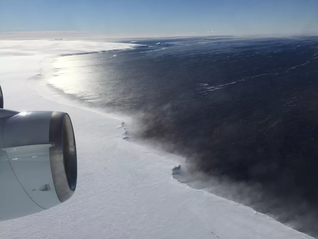
Glaciers periodically retreat or advance, depending on the amount of snow accumulation or evaporation or melt that occurs. This retreat and advance refers only to the position of the terminus, or snout, of the glacier. Even as it retreats, the glacier still deforms and moves down slope, like a conveyor belt. In other words, a retreating glacier does not flow uphill; it simply melts faster than it flows.
Glaciers may surge, racing forward several meters per day for weeks or even months. In 1986, the Hubbard Glacier in Alaska surged at the rate of 10 meters (32 feet) per day across the mouth of Russell Fjord. In only two months, the glacier had dammed water in the fjord and created a lake. These types of glaciers tend to surge periodically, while most glaciers never exhibit surges.
Components of a glacier
Glaciers are dynamic, and several elements contribute to glacier formation and growth. Snow falls in the accumulation area, usually the part of the glacier with the highest elevation, adding to the glacier's mass. As the snow slowly accumulates and turns to ice, and the glacier increases in weight, the weight begins to deform the ice, forcing the glacier to flow downhill. Further down the glacier, usually at a lower altitude, is the ablation area, where most of the melting and evaporation occur. Between these two areas a balance is reached, where snowfall equals snowmelt, and the glacier is in equilibrium. Whenever this equilibrium is disturbed, either by increased snowfall or by excessive melting, the glacier either advances or retreats at more than its normal pace.
Several visible features are common to most glaciers:
Terminus
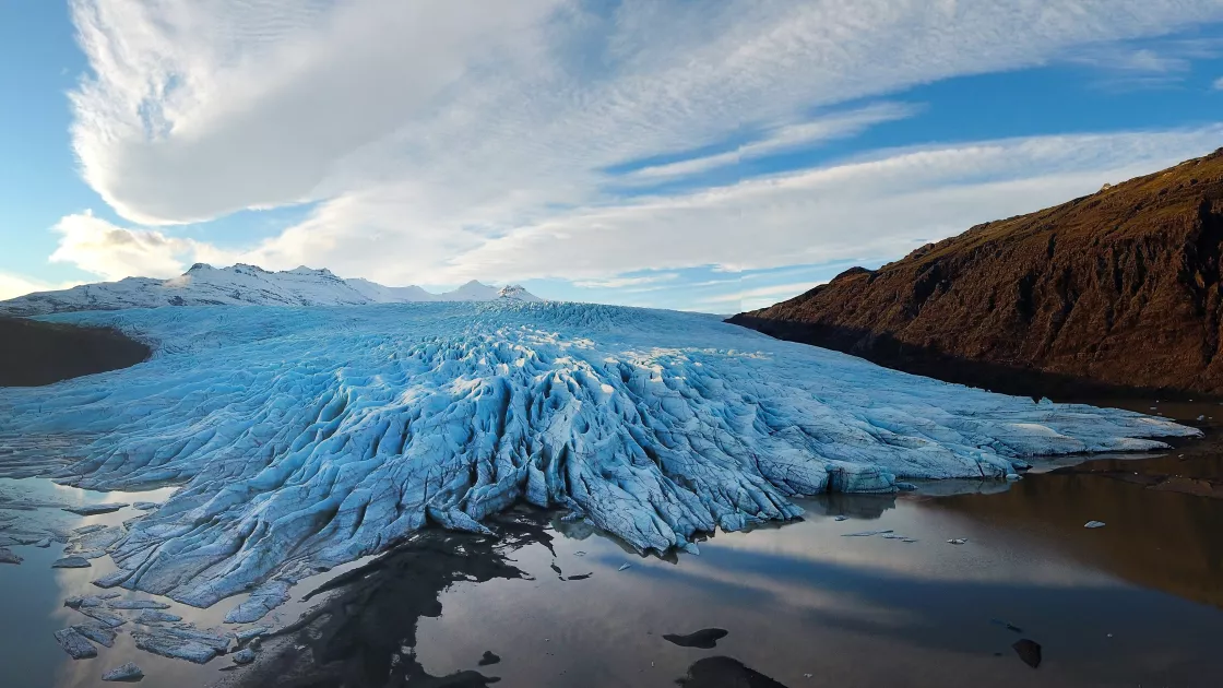
The terminus is the end of a glacier, usually the lowest end, and is also often called a glacier toe or snout.
Crevasses
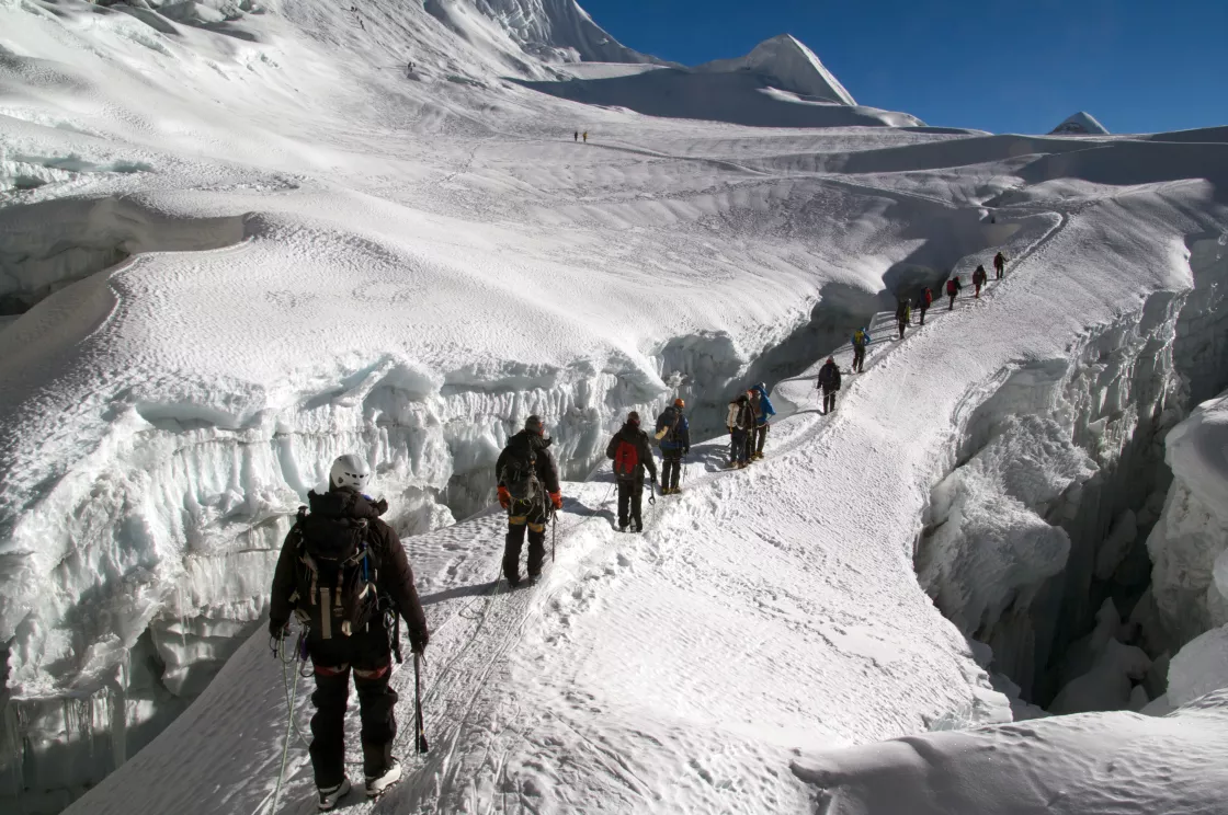
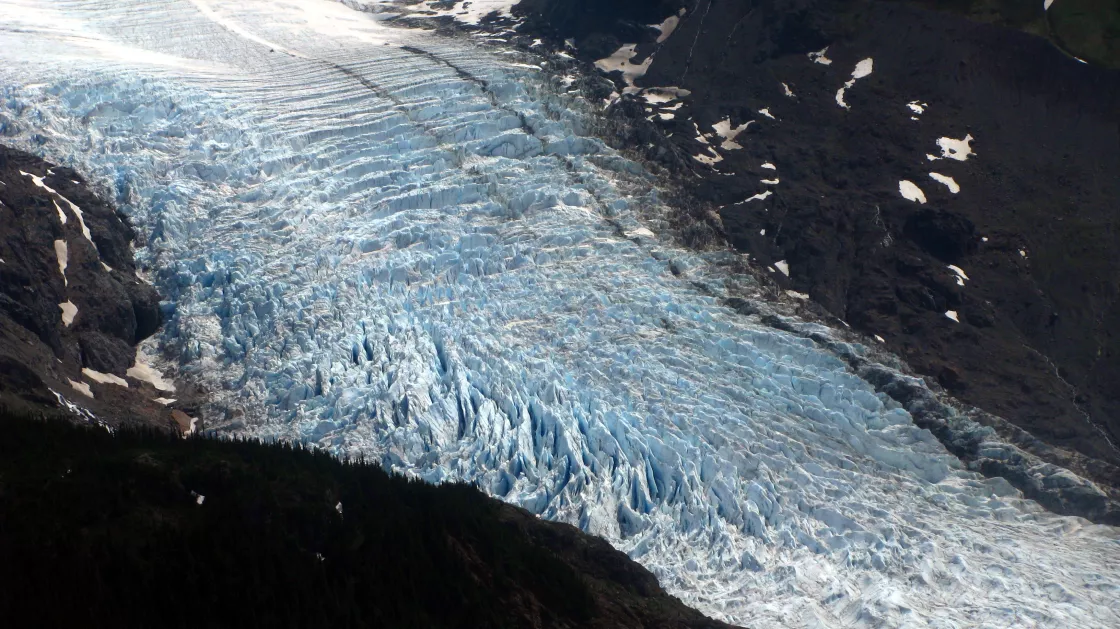
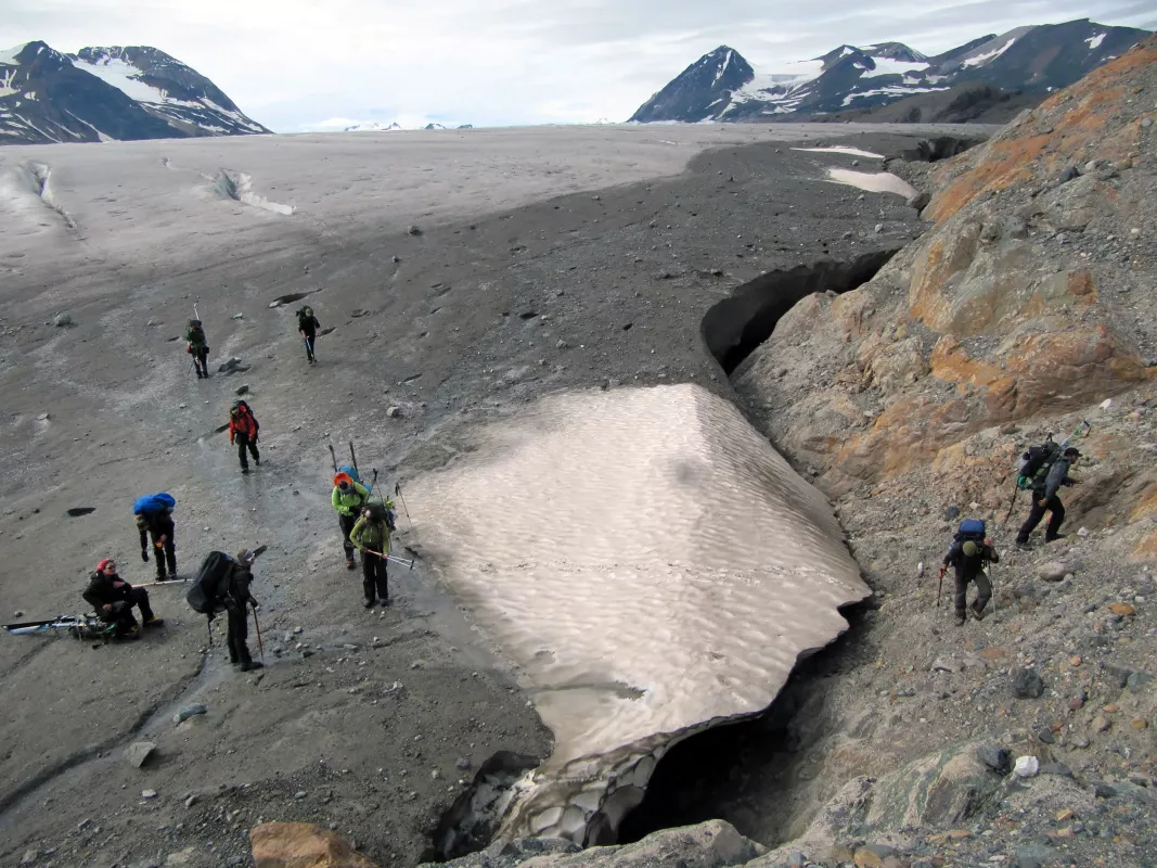
Crevasse are cracks in glacier ice. At locations where a glacier flows rapidly, friction creates these giant cracks. Crevasses may form on the glacier surface, on its underbelly, or on the sides. During fieldwork, crevasses can pose a safety hazard to researchers.
Ogives
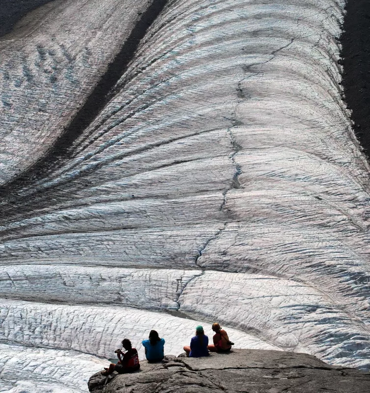
Ogives are bands that form on some glaciers just below icefalls. The bands alternate in both height and color, and result from seasonal patterns. Darker bands form through increased melt and refreezing in the summer, when sediment collects on the glacier surface. Lighter bands form in cooler months, when snow accumulates and traps tiny air bubbles. Because the ice flows faster down the center of the glacier, where it has less friction with surrounding bedrock, the ogives are shaped into arcs that point towards the end of the glacier.
Icefalls
Icefalls often occur when glaciers flow over a steep drop. That portion of glacier ice flows faster and becomes heavily crevassed.
Glacier caves
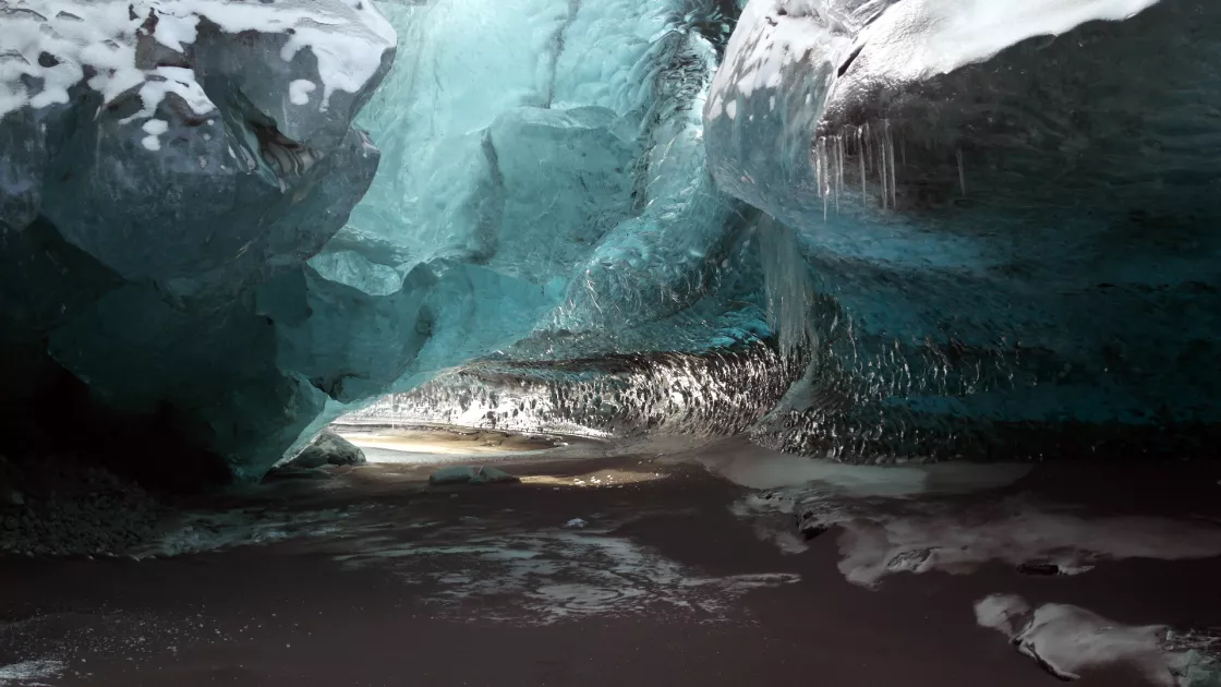
Glacier caves form within the ice of a glacier. Glacier caves are often carved out by water running through or under the glacier's ice.
The process of melt can add components to a glacier, including supraglacial lakes (meltwater surface ponds) and moulins (nearly vertical channels formed by meltwater).
Glacier mice sometimes thrive on glacial surfaces. These mice are not rodents, but instead balls of moss containing tiny ecosystems. Blobs of dust or organic debris become the nuclei of glacier mice, and as the clumps are battered by wind, they roll around on glacier surfaces, gathering moss. Examinations of glacier-mice interiors have found springtails, tardigrades, and nematode worms.
Types of glaciers
Alpine glaciers
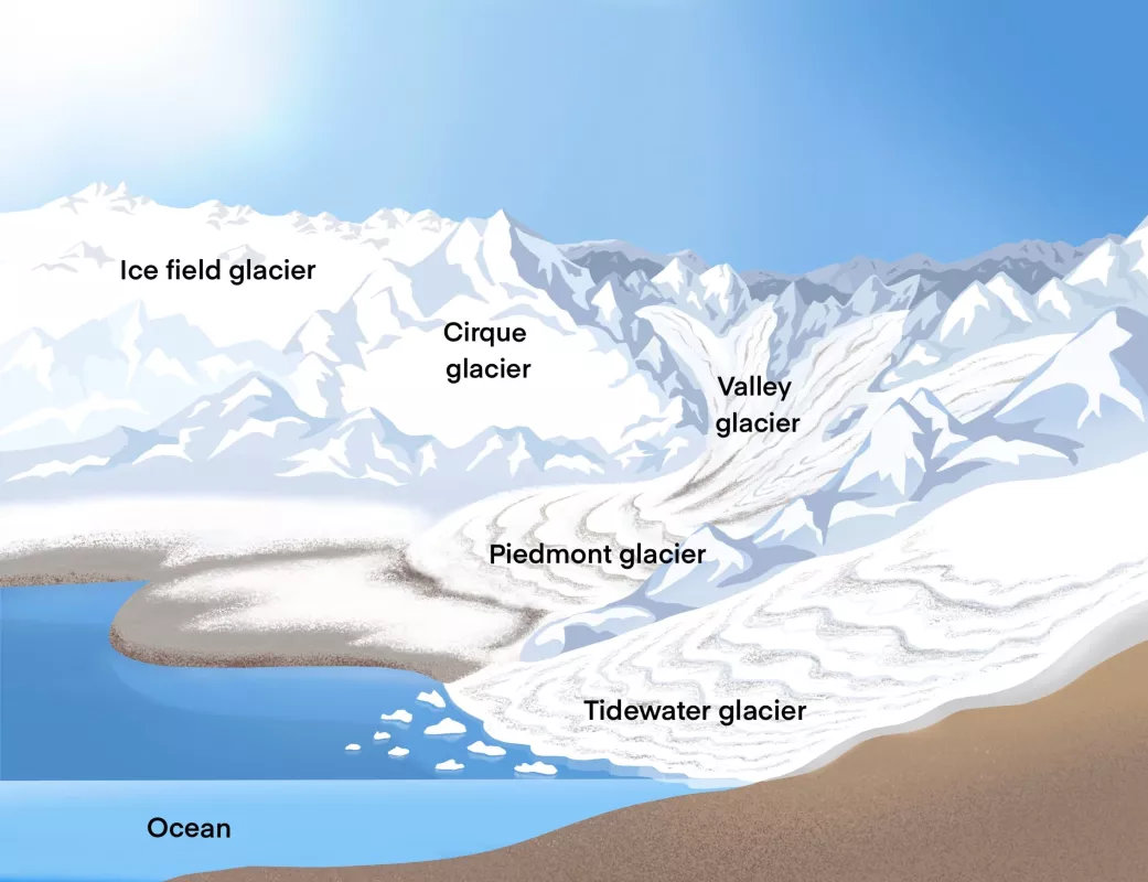
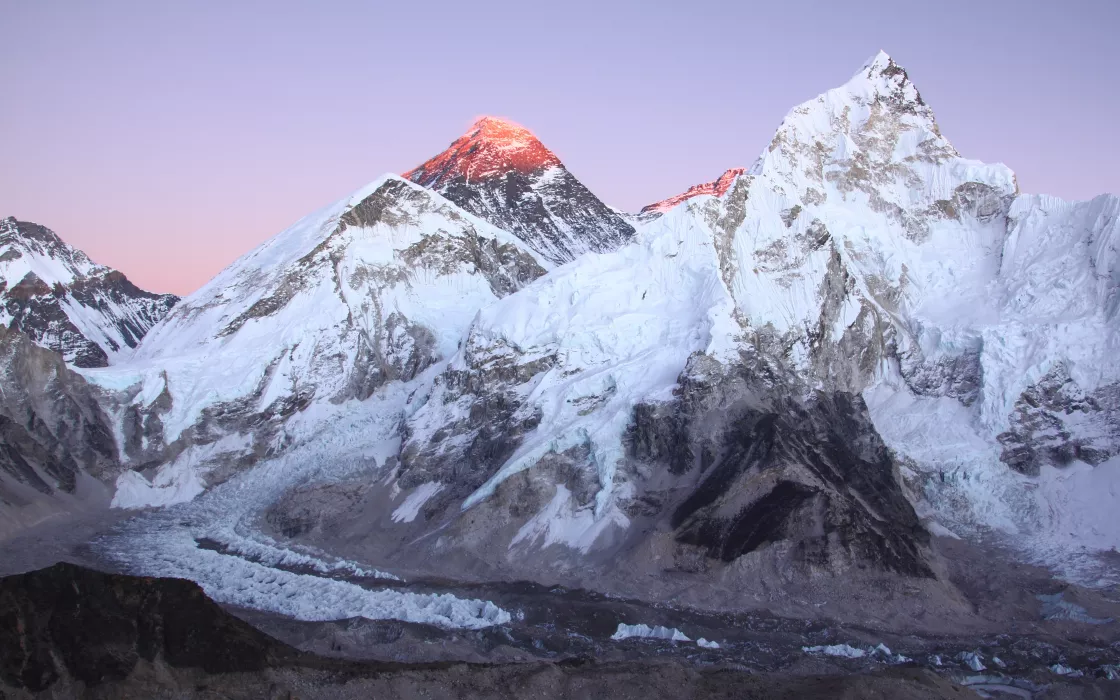
Alpine glaciers develop in high mountainous regions, often flowing out of icefields that span several peaks or even a mountain range. The largest mountain glaciers are found in Arctic Canada, Alaska, the Andes in South America, and the Himalaya in Asia.
Valley glaciers
Valley commonly originate from mountain glaciers or icefields, these glaciers spill down valleys, looking much like giant tongues. Valley glaciers may be very long, often flowing down beyond the snow line, sometimes reaching sea level.
Tidewater glaciers
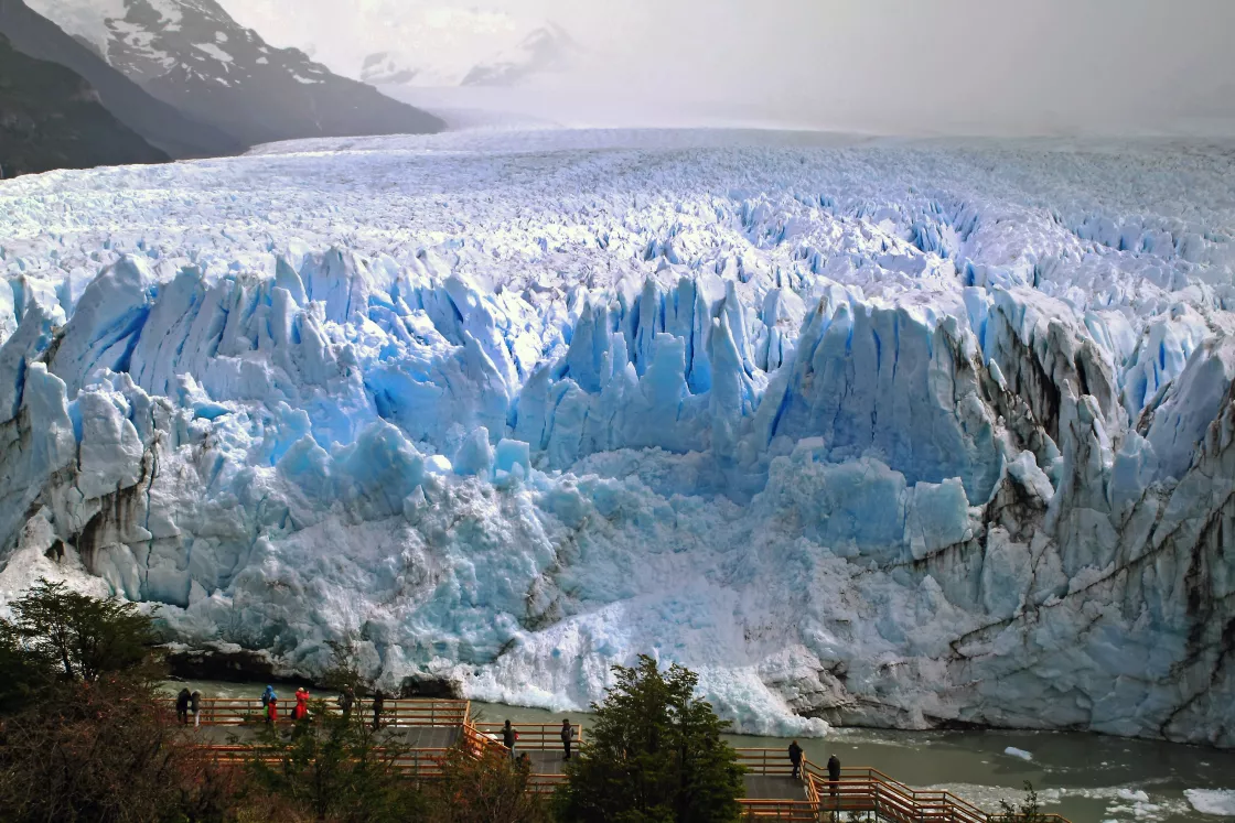
Tidewater glaciers are valley glaciers that flow far enough to reach the sea. In some locations, tidewater glaciers provide breeding habitats for seals. Tidewater glaciers are responsible for calving numerous icebergs, which although not as imposing as Antarctic icebergs, can still pose problems for shipping lanes.
Piedmont glaciers
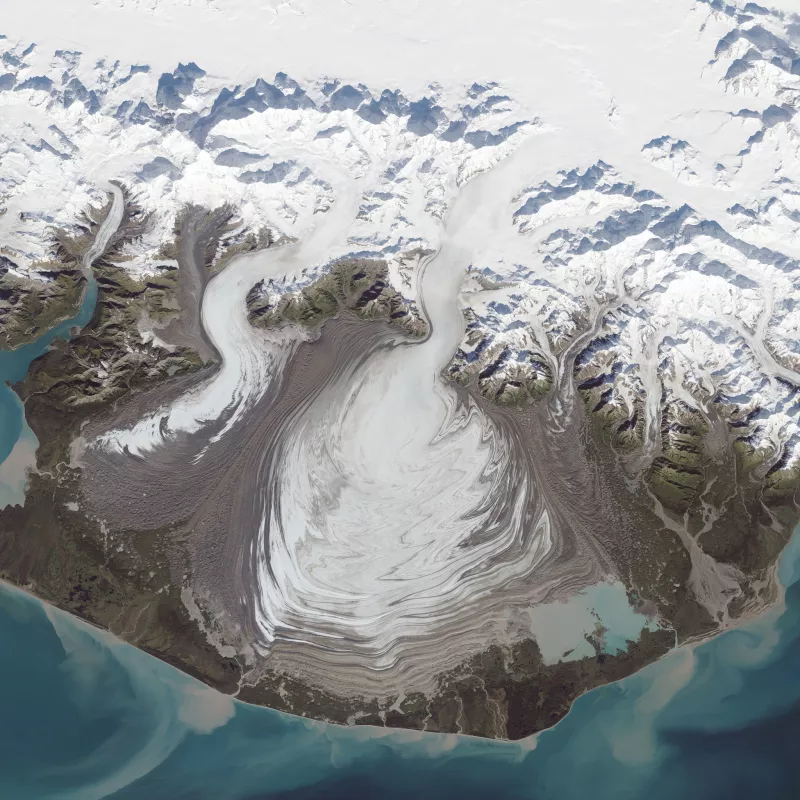
Piedmont glaciers occur when valley glaciers spill into relatively flat plains, where they spread out into bulb-like lobes. Malaspina Glacier in Alaska is one of the most famous examples of this type of glacier, and is the largest piedmont glacier in the world. Spilling out of the Seward Icefield, Malaspina Glacier covers about 3,900 square kilometers (1,500 square miles) as it spreads across the coastal plain.
Hanging glaciers
Hanging glaciers occur when a major valley glacier system retreats and thins, leaving the tributary glaciers in smaller valleys high above the shrunken central glacier surface. If the entire system has melted and disappeared, the empty high valleys are called hanging valleys.
Cirque glaciers
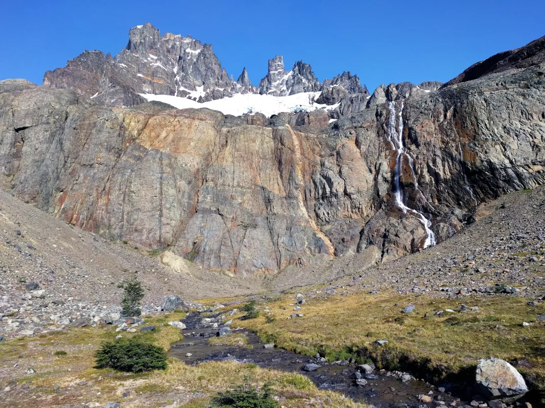
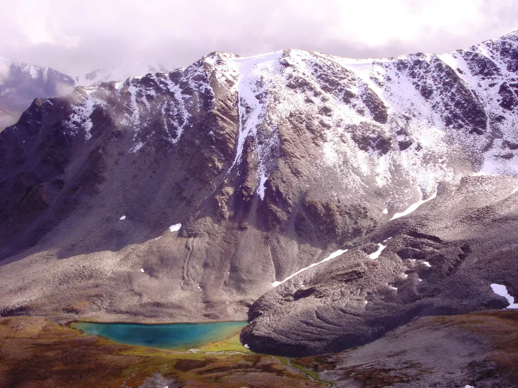
Cirque glaciers are named for the bowl-like hollows they occupy, which are called cirques. Typically, they are found high on mountainsides and tend to be wide rather than long.
Ice aprons
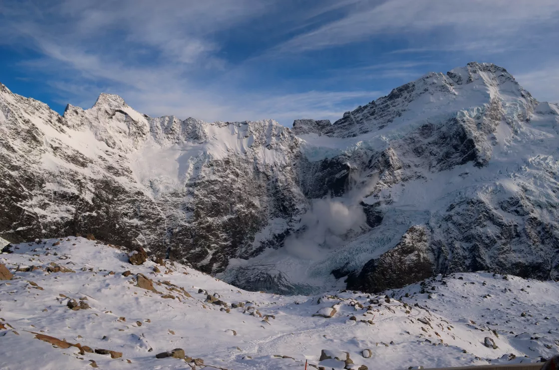
Ice aprons are small, steep glaciers that cling to high mountainsides. Like cirque glaciers, they are often wider than they are long. Ice aprons are common in the Alps and in New Zealand, where they often cause avalanches because of the steep inclines they occupy.
Rock glaciers
Rock glaciers are mixtures of ice and rock, with high concentrations of rock throughout. Although these glaciers have similar shapes and movements as regular glaciers, their ice may be confined to the glacier core, or may simply fill spaces between rocks. Rock glaciers may form when frozen ground creeps down slope. They may also accumulate ice, snow, and rocks through avalanches or landslides.
Ice caps
Ice caps are miniature ice sheets, covering less than 50,000 square kilometers (19,300 square miles). They form primarily in polar and subpolar regions and are smaller than continental-scale ice sheets.
Icefields
Icefields are similar to ice caps, except that their flow is influenced by the underlying topography, and they are typically smaller than ice caps.
Ice streams
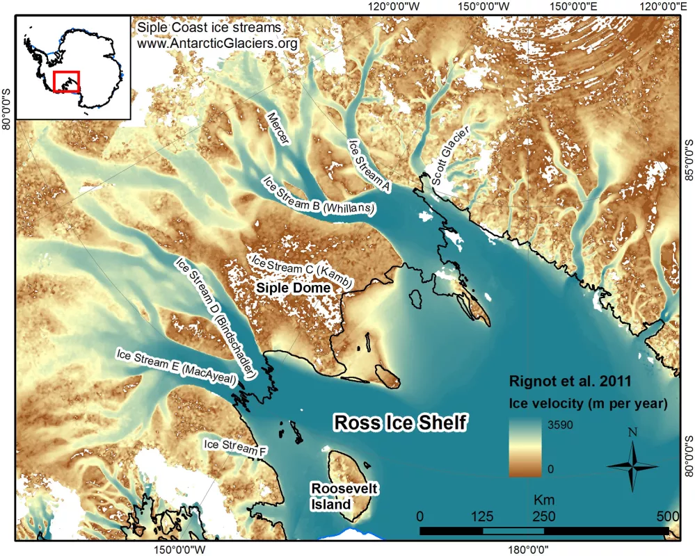
Ice streams are large ribbon-like glaciers set within an ice sheet—they are bordered by ice that is flowing more slowly, rather than by rock outcrop or mountain ranges. These huge masses of flowing ice are often very sensitive to changes such as the loss of ice shelves at their terminus or changing amounts of water flowing beneath them. The Antarctic ice sheet has many ice streams.
Ice sheets
The only ice sheets on Earth currently cover Antarctica and Greenland. Ice sheets are enormous continental masses of glacial ice and snow expanding over 50,000 square kilometers (19,300 square miles). The ice sheet on Antarctica is over 4.7 kilometers (3 miles) thick in some areas, covering nearly all the land features except the Transantarctic Mountains, which protrude above the ice. Another example is the Greenland Ice Sheet. In the past ice ages, huge ice sheets also covered most of Canada (the Laurentide Ice Sheet) and Scandinavia (the Scandinavian Ice Sheet), but these have now disappeared, leaving only a few ice caps and mountain glaciers behind.
Ice shelves
Ice shelves occur when ice sheets extend over the sea and float on the water. They range from a few hundred meters to over 1 kilometer (0.62 mile) in thickness. Ice shelves surround most of the Antarctic continent.
Research & data
Glacial ice can be as old as several hundreds of thousands of years, making it valuable for climate research. To see a long-term climate record, scientists drill and extract ice cores from glaciers and ice sheets. Ice cores have been taken from around the world, including Peru, Canada, Greenland, Antarctica, Europe, and Asia. These cores are continuous records providing scientists with year-by-year information about past climate.
Scientists analyze various components of cores, particularly trapped air bubbles, which reveal past atmospheric composition, temperature variations, and types of vegetation. Glaciers preserve bits of atmosphere from thousands of years ago in these tiny air bubbles, or, deeper within the core, trapped within the ice itself. This is one way scientists know that there have been several Ice Ages. Past eras can be reconstructed, showing how and why climate changed, and how it might change in the future.
As dramatic as the retreat of one glacier may be, scientists learn the most about global climate by studying many glaciers. The World Glacier Monitoring Service (WGMS) tracks changes in more than 100 alpine glaciers worldwide. Forty-two of those glaciers qualify as climate reference glaciers because their records span more than 30 years.
The WGMS reports glacier mass balance changes in millimeters of water equivalence. (There are 25.4 millimeters in an inch.) If all the lost or gained glacial ice were converted to water and spread evenly over glacier surface area, the depth of that water layer is the water equivalence. In the 2021 State of the Climate, the American Meteorological Society reported that average annual glacier mass balance in 2020/2021 was -900 millimeters (35.4 inches) water equivalent. This was an increase from the -700 millimeters (27.6 inches) in 2019/2020. As of June 1, 2022, 31 of the 32 reference glaciers, from 12 nations on four continents, reported negative mass balances.
Glacial research in High Mountain Asia
From 2012 to 2018, NSIDC researchers collaborated with 11 Asian partners to get a clearer picture of freshwater origins for High Asia rivers. The Contribution to High Asia Runoff from Ice and Snow (CHARIS) project aimed to estimate how much river runoff comes from snowmelt, rain, or glacial melt to forecast the future availability and vulnerability of water resources in the High Asia region.
The High Asia regions cover the Himalayan, Karakoram, Hindu Kush, Pamir, and Tien Shan mountain ranges and stretches into Bhutan, Nepal, India, Pakistan, Afghanistan, Kyrgyzstan, Uzbekistan, Kazakhstan, and Tajikistan, which depend on water from these mountain ranges and river basins. Approximately 45,000 glaciers spread out over High Asia. Prior to this effort, there was no systematic assessment of where water comes from. The CHARIS project, generously funded by USAID, helped its Asian partners conduct fieldwork, set up training workshops, funded the restoration of a glacier research hut in Kyrgyzstan, and helped build a state-of-the-art water chemistry lab in Bhutan, which previously had no labs to test water quality. A related project, sponsored by NASA, called Understanding Changes in High Mountain Asia uses remote sensing, modeling, and field observations to study changes in snow, glaciers, and hydrology in High Asia. The resulting data from this project can be found in the NASA NSIDC DAAC High Mountain Asia data collection.
An overview of measurement techniques for ice sheet mass balance
Scientists have adopted three general approaches to ice sheet mass balance measurement: comparing outflow and melt to snowfall accumulation (the mass budget method), observing changes in glacier elevation (volume change or geodetic method), and detecting changes in Earth’s gravity field over the ice sheet (gravimetric method).
The study of ice sheet mass balance underwent two major advances, one during the early 1990s, and again early in the 2000s. At the beginning of the 1990s, scientists were unsure if the ice sheets were losing or gaining mass, and knew only that it could not be changing rapidly relative to the size of the ice sheet.
Advances in glacier ice flow mapping using repeat satellite images, and later using interferometric synthetic aperture radar (SAR) methods, helped the mass budget approach. However, this method still requires an estimate of snow input and a cross-section of the glacier as it flows out from the continent and becomes floating ice.
Satellite radar altimetry mapping and change detection, developed in the early to mid-1990s, allowed the research community to finally extract reliable quantitative information regarding the overall growth or reduction of the volume of the ice sheets. Like the 2002 publication, in which researchers were able to report that both large ice sheets were losing mass.
In 2003, the launch of two new satellites—Ice, Cloud, and land Elevation Satellite (ICESat) and Gravity Recovery and Climate Experiment (GRACE)—led to vast improvements in one of the methods for mass balance determination, volume change, and introduced the ability to conduct gravimetric measurements of ice sheet mass over time. The gravimetric method helped to resolve remaining questions about how and where the ice sheets were losing mass. With this third method, and with continued evolution of mass budget and geodetic methods, it was shown that the ice sheets were, in fact, losing mass at an accelerating rate by the end of the 2000s.
Data at NSIDC
NSIDC archives and distributes open access data to better understand both the role glaciers play on Earth and how they are changing.
Browse related open access data collections archived at NSIDC
GLIMS: Global Land Ice Measurements from Space
The NSIDC DAAC GLIMS data collection includes data from the Global Land Ice Measurements from Space (GLIMS) initiative. GLIMS is an international project to inventory the world’s glaciers and to create a comprehensive, global database of land ice through repeat surveys.
High Mountain Asia (HMA)
The NSIDC DAAC High Mountain Asia (HMA) collection includes data related to snow and ice in a region that stretches across five mountain ranges, including the Himalaya and Hindu Kush. The region covers parts of China, Afghanistan, Nepal, India, Pakistan, Bhutan, Kazakhstan, Uzbekistan, Kyrgyzstan, and Tajikistan.
ICESat-2
The NSIDC DAAC ICESat-2 data collection includes data products derived from the Advanced Topographic Laser Altimeter System (ATLAS) instrument aboard the Ice, Cloud and land Elevation Satellite-2 (ICESat-2). ATLAS has a single laser split into six beams and arranged in three pairs to better gauge the slope of Earth's surface. ICESat-2 data products at the NSIDC DAAC describe elevations of sea ice, land ice, forest canopies, water height, urban areas, and more. Data observations span from late 2018 to present.
ICESat/GLAS
The NSIDC DAAC ICESat/GLAS collection includes data products derived from the Geoscience Laser Altimeter System (GLAS) instrument that flew on NASA's Ice, Cloud, and land Elevation (ICESat) satellite from 2003 to early 2010. Data products at the NSIDC DAAC describe elevations of ice sheets, glaciers, and sea ice, as well as height profiles of clouds and aerosols.
MEaSUREs
The NSIDC DAAC Making Earth System Data Records for Use in Research Environments (MEaSUREs) data collection includes data products derived from satellite data and created by researchers. Data products encompass snow, sea ice, glaciers, ice sheets, ice shelves, and freeze/thaw conditions, snow, and brightness temperatures. Spatial coverage ranges from global to continental, and temporal coverage ranges from the 1960s through the present.
Additional NSIDC Resources
Historical Glacier Photography
The Glacier Photograph Collection is an online, searchable collection of glacier photographs, mostly taken in the Rocky Mountains, the Pacific Northwest, Alaska, and Greenland. The dates of the photographs range from the mid 1800s to the present day, providing a critical historical record. The collection also includes some glacier photographs in Europe, South America, the Himalayas, and Antarctica. As of August 2021, more than 25,000 glacier photographs are in the database.

