By Audrey Payne
In 2022, Alan Bourgeois and Jesslyn Di Fiori sat at their computers in Boulder, Colorado, and Pullman, Washington, respectively, clicking away at their keyboards as they ingested data, wrote user guides, and emailed back and forth with snow scientists who were gathering field data for the NASA SnowEx campaign. Bourgeois, a data systems specialist, and Di Fiori, a technical writer, sit on a National Snow and Ice Data Center Distributed Active Archive Center (NSIDC DAAC) data management team dedicated to SnowEx. But perched behind their desks, they had not yet actively participated in the data collection process. That changed in March 2023, when they headed to Fairbanks, Alaska, for the SnowEx 2023 field campaign, or as they described it, “a crash course in snow science.”
Their participation in this SnowEx field campaign gave valuable context to the data that they were stewarding, and provided a unique experience to participate in the creation of data. While the NSIDC DAAC manages a lot of data, team members are rarely involved in its creation, especially through field work. During the SnowEx field campaign, however, Bourgeois and Di Fiori were able to participate in various steps of data creation, from seeing how measurements were made to data entry and quality control.
Discovering how much water is in snow
SnowEx is a multi-year NASA project dedicated to better understanding how much water is stored in Earth’s snow-covered regions, and how much of that water is accessible to people. More than one billion people around the world rely on seasonal snowpack and glaciers for their water supply. Climate change is shortening the snow season and reducing the amount of snow accumulating, so knowing how much water the snow holds is crucial for water managers to help mitigate changes in quantity, quality, and timing of melt.
To find out how much water is in the snowpack, scientists are using airborne lidar and radar measurements to measure snow depth and satellite remote sensing data to measure snow extent, depth, and snow-water equivalent (SWE) in various landscapes throughout the year. But the numbers taken from above do not always match reality on the ground. This is where the SnowEx field campaigns, which began in 2017 and take place in disparate landscapes and ecosystems, come in. During each of these field campaigns, scientists from various institutions and universities have come together to take extensive on-the-ground measurements of snow to compare with satellite and airborne data. They then use this information to evaluate how to best combine different remote sensing technologies to accurately measure snow from above. “It’s all about ground validation,” said Bourgeois. “The goal is to compare what they’re getting from the satellite data and what’s actually on the ground.”
Differing landscapes and vegetation can affect the airborne and satellite measurements in various ways, so each SnowEx campaign has focused on distinct environments. “It’s kind of a ground truthing campaign,” said Di Fiori. “They want to know, ‘Does this or that vegetation type cause errors to show up in our satellite data?’” During the 2022 to 2023 field season, the focus was on boreal forests, or snow forests, and tundra, treeless plains found at high altitudes and high latitudes. This included three measurement periods: the first during low-snow conditions in October 2022, the second during peak snow conditions in March 2023, and the third during the melt season in April 2023. Bourgeois and Di Fiori’s crash course in snow science took place during the second leg of the campaign, when they flew to Fairbanks to take on data management duties to support the field scientists from March 4 to 18, 2023. Past field campaigns have taken place in Colorado, Idaho, Utah, and Montana and focused on mountainous terrain, prairies, and different types of forests.
Data management duties
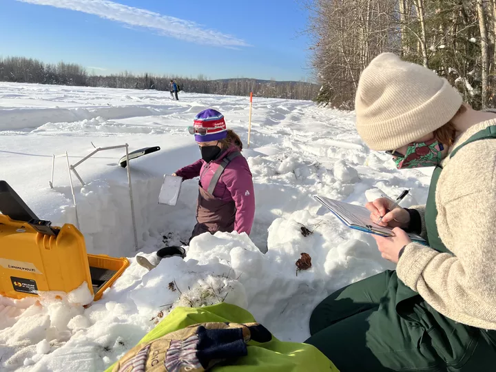
Bourgeois and Di Fiori had two main jobs in Fairbanks: transcribing and backing up data. Each day, the snow scientists would go out into the field to dig snow pits. “There’s a lot more to snow than I thought,” said Bourgeois. “When scientists dig the snow pits, they get this face or wall of snow. You can look at that wall of snow and see that some layers of snow are less dense than others because the snow changes once it has sat under pressure for a long time. You can start picking out, oh this snow fell in October, this snow fell in January, etc. based on the qualities of the layers, and you can look at the structure of the snow to learn about the year’s snowfall, temperature, and more.”
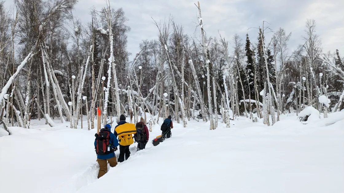
Once the snow pits were dug out, the scientists took measurements and observations throughout the day to better understand the snow’s properties and how much water was contained in the snow. These measurements and observations included snow water equivalent, density, depth, stratigraphy, wetness, grain size, temperatures at different depths, and environmental observations, such as current weather conditions and the types of vegetation below the snowpack. They wrote everything down in field books, then Bourgeois and Di Fiori transcribed those notes into a digital format so that the scientists could access them more efficiently. Then, they backed up the data in Microsoft Teams so that it would not be lost. In addition to taking information from snow pits, the scientists also measured snow depth using instruments that they dragged along the snow on sleds. Each night, after they returned from the field with those instruments, Bourgeois and Di Fiori backed up those measurements as well.
A crash course in snow science
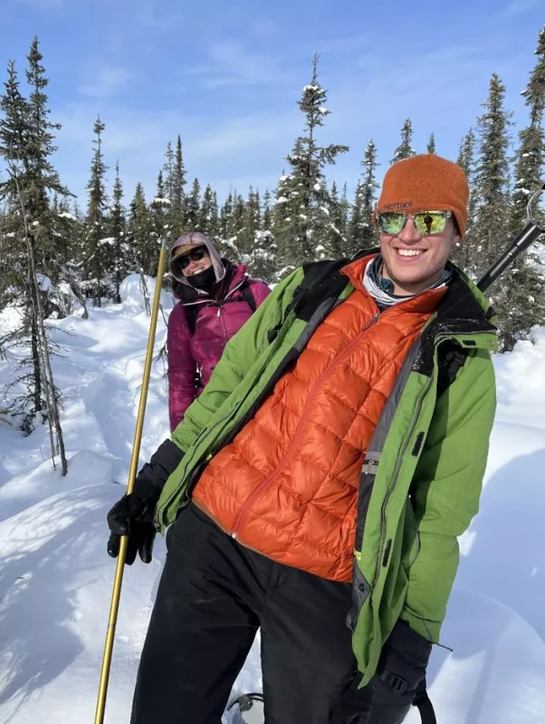
However, their trip did not consist only of sitting at a computer. The very first day of the field campaign, while the scientists were trained on how to properly take the measurements and dig snow pits, Bourgeois and Di Fiori were invited to join in. “This was big for us because we hadn’t seen how that was done before,” said Bourgeois. “In October, during the low-snow part of the campaign, we were remotely inputting numbers, but we didn’t really understand what types of measurements were being taken. Going into the field gave us more perspective on what those numbers should look like while we were transcribing the data, and we were able to go to the scientists if the numbers didn’t make sense and say, ‘Hey, this doesn’t quite look right,’ and adjust where needed.”
Scientists were taking notes in extreme temperatures, which dropped as low as -28 degrees Celsius (-18 degrees Fahrenheit). “So you can imagine how that affects handwriting,” Di Fiori said. “We were providing a first level of quality control to the data. When the scientists returned in the evening, we could double check with them if something did not look right.”
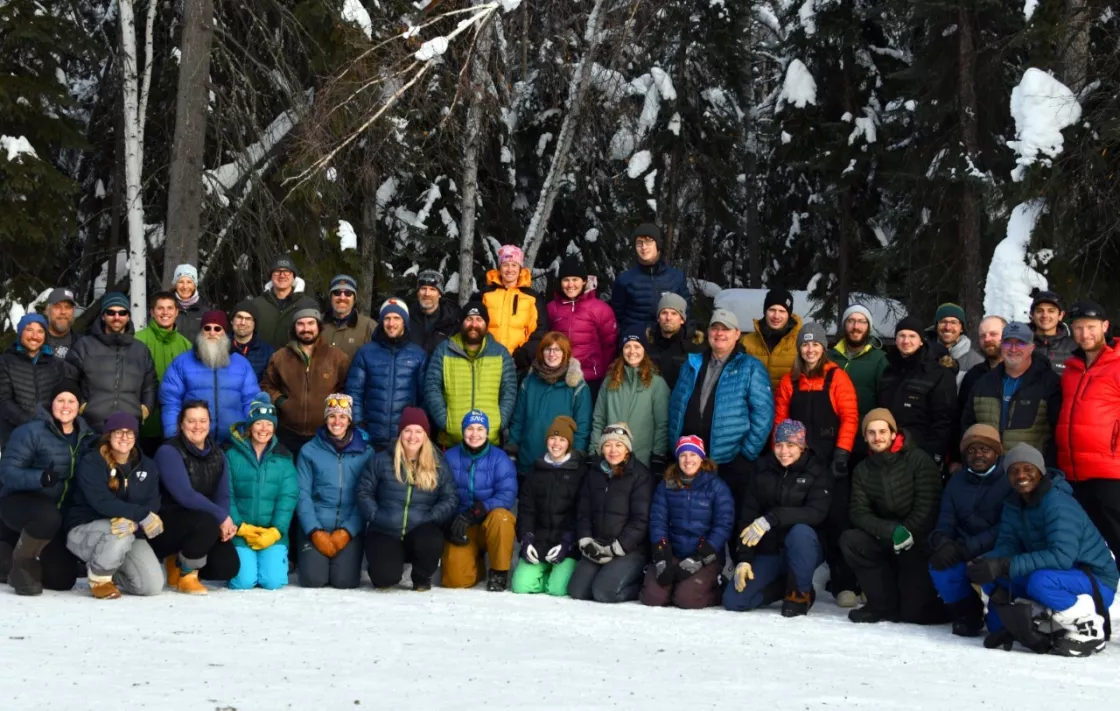
Bourgeois and Di Fiori also got to meet the scientists in person that they had only corresponded via email with in the past. “I communicate regularly with these snow scientists about their data sets while I’m writing the user guides, so it was really cool to see them in person,” said Di Fiori. “We also published a SnowEx data set while we were there, so I got to turn around and tell the scientist, ‘We just published your data,’ which was really special.”
What happens next?
While the SnowEx field campaigns have finished and the data have been transcribed and backed up, they will not be publicly available for some time. “We’re actively still publishing data from the 2021 field season,” said Di Fiori. “It takes time. The NSIDC DAAC will be getting data from this field campaign for at least a year, if not more, depending on how long it takes for the scientists to process and go through the different data sets.”
Eventually, data from this campaign will be available at the NSIDC DAAC, along with data from past SnowEx campaigns dating back to 2017. Future campaigns will continue to make observations in dynamic and variable snow-covered regions throughout North America to advance snow science and improve global snow observations from remote sensing missions, such as the Moderate Resolution Imaging Spectroradiometer (MODIS) and Visible Infrared Imaging Radiometer Suite (VIIRS) instrument. As SnowEx campaigns continue to improve snow remote sensing techniques, they may one day lead to a dedicated spaceborne snow mission to accurately measure the Earth's total snow water equivalent and snow-dependent water supply.
Access data through the NSIDC DAAC
NASA’s NSIDC DAAC manages, distributes, and supports a variety of cryospheric and climate-related datasets as one of the discipline-specific Earth Science Data and Information System (ESDIS) data centers within NASA’s Earth Science Data Systems (ESDS) Program. User Resources include data documentation, help articles, data tools, training, and on-demand user support. Learn more about NSIDC DAAC services.


