VIIRS Version 1 (Collection 1) snow and sea ice data sets will cease forward processing on June 17, 2024. The Version 1 data will remain available for download, but users are encouraged to transition to VIIRS Version 2. VIIRS Version 2 includes new snow, sea ice, and ice surface temperature data sets from both the NASA/NOAA Suomi National Polar-orbiting Partnership (Suomi NPP) satellite and the National Oceanic and Atmospheric Administration-20 (NOAA-20) satellite.
VIIRS
Visible Infrared Imaging Radiometer Suite
Subscribe here to receive email updates of the VIIRS data announcements
Overview
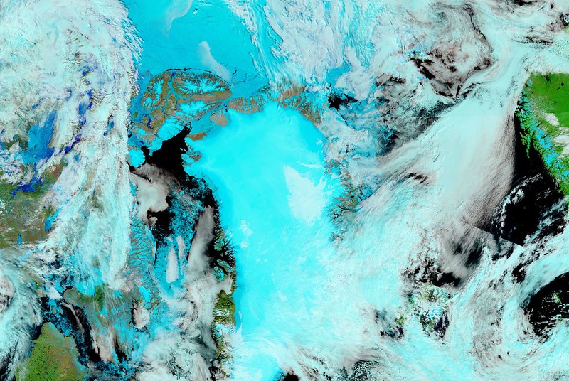
The NSIDC DAAC VIIRS data collection includes snow cover, sea ice cover, and sea ice temperature data collected by the Visible Infrared Imaging Radiometer Suite (VIIRS) sensor. The VIIRS instrument, a scanning radiometer, acquires visible and infrared imagery and radiometric measurements of Earth’s landmasses and oceans. Data coverage from VIIRS began in 2012 and runs through the present day.
VIIRS first flew on the National Oceanic and Atmospheric Administration (NOAA) Suomi National Polar-orbiting Partnership (SNPP) spacecraft, which launched on October 28, 2011. SNPP was established as a joint mission by NASA and NOAA and was designed to bridge NASA’s Earth Observing System satellite missions and the latest-generation NASA-NOAA Joint Polar Satellite System (JPSS) missions.
- The first JPSS mission, JPSS-1, launched on November 18, 2017. The satellite was renamed NOAA-20 upon reaching its polar orbit.
- The second JPSS mission, JPSS-2, launched on November 1, 2022. The satellite was renamed NOAA-21 upon reaching its polar orbit.
The NSIDC DAAC is NASA’s designated Distributed Active Archive Center for VIIRS snow and ice data from SNPP, JPSS-1, and JPSS-2 missions.
VIIRS extends observational records collected by earlier instruments, such as the Moderate Resolution Imaging Spectroradiometer (MODIS) mission. VIIRS snow cover and sea ice algorithms are specifically designed for compatibility with MODIS Terra and Aqua snow cover and sea ice data sets (Version 6 and higher). This compatibility ensures continuity between MODIS and VIIRS data products. The continuity supports comparison of snow and sea ice conditions over the lives of MODIS and VIIRS sensors and facilitates future climate data records from these sensors.
VIIRS also offers observational advantages over earlier sensors. For example, it has a 3,000-kilometer-wide swath, giving it a wider swath than MODIS. VIIRS also observes the entire surface of the Earth twice each day at 750-kilometer resolution compared to MODIS sensors which provide global coverage every one to two days.
The NSIDC DAAC archives and distributes Level-2 and Level-3 VIIRS products; product resolutions range from 750 to 375 meters.
While the NSIDC DAAC archives the standard science quality VIIRS data sets, near-real-time versions of many of these products are available from the MODIS Adaptive Processing System (MODAPS). These products are part of NASA’s Land, Atmosphere Near-real-time Capability for EOS (LANCE) program. The VIIRS LANCE data have a shorter latency period than the standard products, are generally produced within three hours of satellite observation, and are only archived for seven days. They are designed to meet the needs of time-sensitive applications, such as numerical weather and climate prediction, forecasting and monitoring natural hazards, agriculture, air quality, and disaster relief. Users may notice some differences between the standard and near-real-time version of products. If latency is not a primary concern, users are encouraged to use the standard science products archived at the NSIDC DAAC, which are created using the best available ancillary, calibration, and ephemeris information.
All VIIRS near real-time data sets can be viewed and downloaded from the MODAPS VIIRS website.
Parameters
Snow cover, sea ice, ice surface temperature
Geographic coverage
Global
Related collection(s)
Explore images from VIIRS