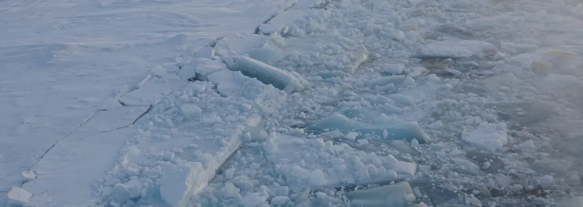
The National Snow and Ice Data Center (NSIDC) has launched an upgraded and streamlined Sea Ice Today website. The new site replaces the Arctic Sea Ice News & Analysis (ASINA) website but continues the NASA-funded work on near-real-time assessments, daily data images, and monthly analyses on sea ice conditions that began in 2007. While most past analyses have focused on the Arctic, the updated name of the website reflects a growing focus on changing Antarctic sea ice conditions. It is also branded in line with Ice Sheets Today and Snow Today, NSIDC’s analysis sites that focus on ice sheet melt and North American snow conditions, respectively.
The updated Sea Ice Today website better complements NSIDC’s main site, with responsive design that accommodates multiple screen widths, including on mobile devices.
What you can find in Sea Ice Today
- Daily and monthly images and data for Arctic and Antarctic sea ice
These images visualize sea ice extent and concentration and how they are changing over time. Data are from the National Oceanic and Atmospheric Administration-funded Sea Ice Index.
- Monthly analyses written by experts about current sea ice conditions
Within these analyses, NSIDC scientists discuss current sea ice conditions, comparisons with other years and sea ice trends, and highlight emerging scientific research from the polar science community. NSIDC’s communication team posts analyses twice monthly during the peak summer melt season, when sea ice loss is the greatest in the Arctic. Reports also often feature guest scientists who contribute sections to the analyses.
- Interactive, online tools to visualize data
The Charctic interactive sea ice graph allows users to view sea ice extent in near-real time and compare numbers with past days, months, and years, along with the median and average 1981 to 2010 extents, and quartile, decile, and standard deviation ranges. The tools website also features a map comparison tool to look at the difference in sea ice extent between two days in the satellite record.
- Spreadsheets of Arctic and Antarctic sea ice data
- The numbers contained within these spreadsheets can be used to analyze sea ice and identify trends.
Why sea ice matters
The Arctic is warming two to four times faster than the rest of the globe. Declining sea ice extent is a prominent response to this warming, as well as a driver of additional warming. The loss of Arctic sea ice impacts not just the region, but the rest of the climate system as well, because it delivers cooler air over a vast area, and its white surface reflects solar energy back into space, preventing heat from being absorbed into the ocean. Through these effects, it influences global weather patterns and ocean circulation.
While there is a clear downward trend in Arctic sea ice extent over the past few decades, Antarctic sea ice has been more variable, sometimes reaching record high and low extents within the same year. However, the period since 2016 has seen a series of extreme seasonal minima, and some scientists speculate a regime shift is occurring, in line with expectations of the regions’ response to global warming. Like Arctic sea ice, Antarctic sea ice helps to cool the planet by reflecting solar heat back into space. In addition, it helps to stabilize the Antarctic Ice Sheet, preventing it from sweeping into the ocean and slowing the rise in global sea level.
Learn more about why sea ice matters.
