Welcome to the National Snow and Ice Data Center
Advancing knowledge of Earth's frozen regions since 1976
Stay current with our expert analyses

Sea Ice Today
Near-real-time data and monthly analysis on how Arctic and Antarctic sea ice is changing and what conditions may be playing a role—formerly known as Arctic Sea Ice News and Analysis (ASINA)

Ice Sheets Today
Near-real-time melt maps, graphs, and periodic analyses during the Greenland Ice Sheet melt season and periodic data images and analyses during the Antarctic Ice Sheet melt season

Snow Today
Monthly analyses and daily data images of snow conditions in near-real time across the Western United States using a combination of satellite data and surface observations
Featured news & stories
Data, research & analysis updates
Data management programs at NSIDC


NASA National Snow and Ice Data Center Distributed Active Archive Center (NSIDC DAAC)
Open access cryosphere and related geophysical data from NASA Earth-observing satellite missions, airborne campaigns, and field observations.


National Oceanic and Atmospheric Administration (NOAA) at NSIDC
A NOAA-funded program providing open access data from satellites, field instruments, weather stations, historical records, and rescued data.
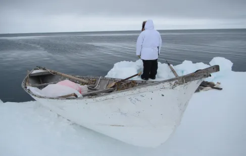

Exchange for Local Observations and Knowledge of the Arctic (ELOKA): Data Curation for Indigenous Communities
Working with Indigenous communities in the Arctic to preserve and promote their data and knowledge for use in scientific studies.
