Our Research
As climate changes, how do Earth's frozen areas affect our planet and impact society?
In this section
Related News & Stories
Filter by:

Feature Story
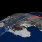
NASA is making sure that the Geoscience Laser Altimeter System (GLAS) data will remain available to earth science researchers by permanently archiving the data, software, and user documentation at NSIDC.

Spotlight
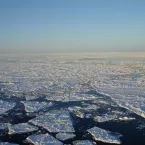
How can sea ice data from different disciplines be made accessible and usable by a broader audience? NSIDC data expert Mark Parsons and researchers from NSIDC and Rensselaer Polytechnic Institute are working to solve that problem with a new project called the Semantic Sea Ice Interoperability Initiative (SSIII).

Spotlight
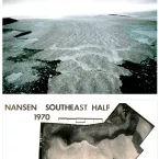
Using data from aerial photographs and maps, the National Snow and Ice Data Center (NSIDC) and the World Glacier Monitoring Service (WGMS) have added 25,000 more glaciers to World Glacier Inventory (WGI), bringing the total to 132,890.

Spotlight
Carbon dioxide released from thawing permafrost may have contributed to a major global warming events about 55 million years ago, suggests a new study published today in the journal Nature.

Spotlight
The NASA Operation IceBridge mission collects airborne remote sensing measurements to bridge the gap between the first NASA Ice, Cloud and Land Elevation Satellite (ICESat), which stopped collecting data in 2009, and ICESat-2. The IceBridge data portal helps researchers locate and access data through a map-based interface.

