By Agnieszka Gautier
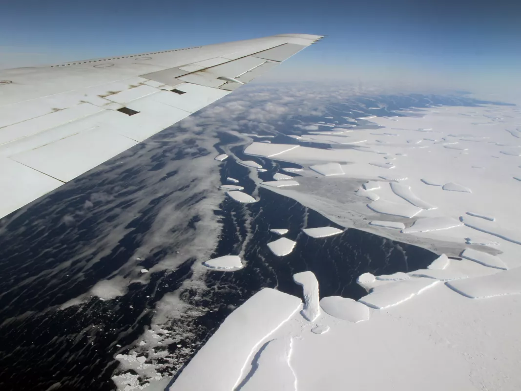
Operation IceBridge, a ten-year NASA mission, flies a fleet of research aircraft over Earth’s polar ice, taking tens of thousands of photographs and flying dozens of instruments to unveil a three-dimensional view of ice sheets, ice shelves, and sea ice. More than 60 datasets have resulted on ice and snow thickness, bedrock topography, and other scientific properties—much of it collected over remote locations in the Arctic and Antarctic.
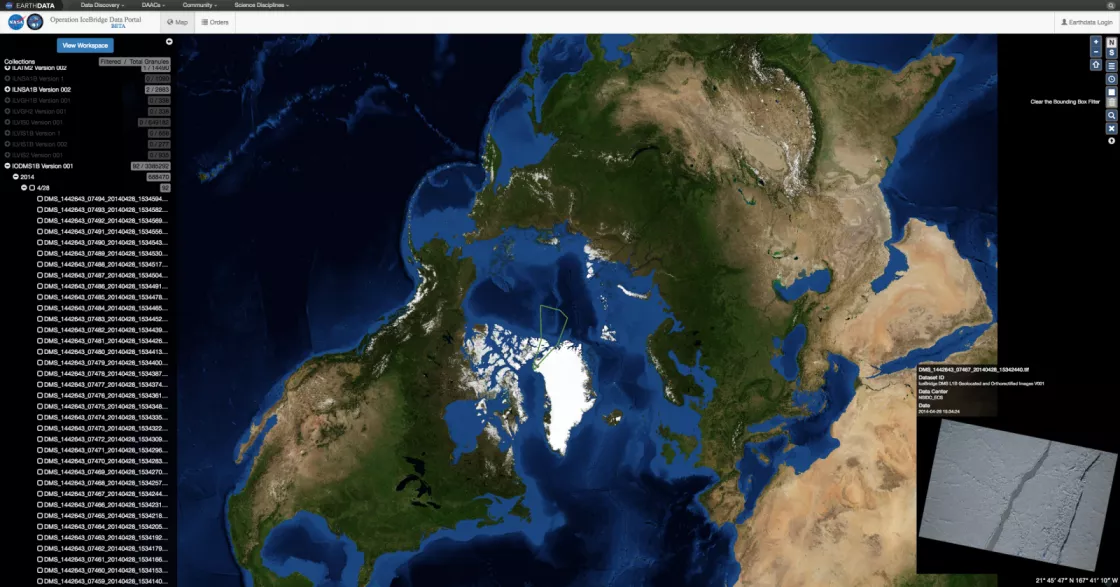
NSIDC archives and distributes the data collected by IceBridge to the cryospheric research community. To help researchers see where and when the data were collected NSIDC developed the IceBridge Data Portal, allowing users to see the flight lines and their collected data sets. The first portal was put up quickly in 2011, and users found the interface unwieldy and confusing, unable to easily access data. So the portal needed to work out its kinks.
The data dump
The old portal hinged on the mission flight reports, and consequently, flight lines. When the portal team received a big pile of new data from a recent campaign, they had to take the flight reports and tease out which instruments were flown to find the products. “So all the data was out there, but it was cumbersome to get to,” said Steve Tanner, the IceBridge Project Manager.
For instance, if a researcher wanted data from the Airborne Topographic Mapper (ATM) instrument, he or she needed to look at a flight line associated with a particular day and see if that instrument was on board. And if it was, then the product could be searched, but only for that specific day and that specific flight line. So if more days were needed, the researcher had to do that for each and every day. “It was driving the users crazy,” Tanner said. “The flight lines were the fastest way to get this stuff out there and it made sense, but from a user perspective it was just unworkable.”
The upgrade
To improve access, NSIDC worked with the NASA IceBridge project to convert the products so searching a product from metadata is now possible. Users can filter the list quickly by entering keywords. And instead of having to search through a bunch of flight lines to find which instruments were flown, the user is presented with a list of IceBridge products. Now if a researcher wants a specific ATM product, he or she can go directly to the product, see what dates the instrument was flown, find the desired resolution, and be done. “The new portal looks pretty much the same, but there are some powerful differences,” Tanner said.
One of the issues with the original portal was that the metadata was not compatible with NSIDC’s metadata structure. The metadata was passed off to NSIDC as is. But now, IceBridge mission staff convert the data before passing it on. The conversion means extra work on the researchers’ part. After the flights, preparing the data for compatibility is a time-intensive process, but more accessible datasets equates to furthering cryospheric research.
Cool new features
The portal stores well over four million photographs, important in documenting changes, finding crevasses, and offering safe passage for researchers on the ground. In the old portal, if a user wanted a photograph from a flight, he or she needed to download all of them from that given flight. “Because now files are associated with a product and we know their location and time, we can let users select a few images on a given day,” said Tanner. “And furthermore, we can show you where each of those files is physically located along the flight line.”
Another feature involves the way the images are presented. A user can drag a mouse over a flight line and scroll through images, almost like watching a movie of the flight. “We have gotten great feedback about this,” Tanner added.
IceBridge forms the bridge between the Ice, Cloud, and Land Elevation Satellite (ICESat), which operated from 2003 to 2010, and ICESat-2, which is expected to launch in 2018. Minimizing gaps in data is crucial for scientific observation and to expose any trends in environmental changes. Eventually, the portal will provide data from ICESat, ICESat-2, and IceBridge. The new portal has been publicly available since February 2016, and the old portal will be retired soon.


