Climate change is warming the planet, and nowhere is the warming happening faster than the polar regions. Sea ice is dwindling, the ice sheets are losing mass to the oceans, and air and ocean temperatures are rising. Scientific researchers have made leaps and bounds in recent years gathering new data and insights on these regions, but there has been a lag in curriculum development for undergraduate students who are studying the geosciences and environmental sciences. Polar Places and Spaces (PolarPASS) seeks to fill this gap by developing a science-based curriculum to help students learn about the scientific discovery process and to connect them with far-away places that they may not have the opportunity to visit in person.
“As polar scientists, we are engaged with fascinating research that has important connections and impacts for people all over the globe,” said Twila Moon, lead principal investigator (PI) and deputy lead scientist and science communication liaison at the National Snow and Ice Data Center (NSIDC). “Yet there wasn't much curriculum to support polar learning with authentic data. The U.S. National Science Foundation recognized this need, and our team was thrilled to receive funding to help fill the gap. Deciding to use and test interactive environments and weave in GIS were key to pursuing the learning outcomes we were aiming for."
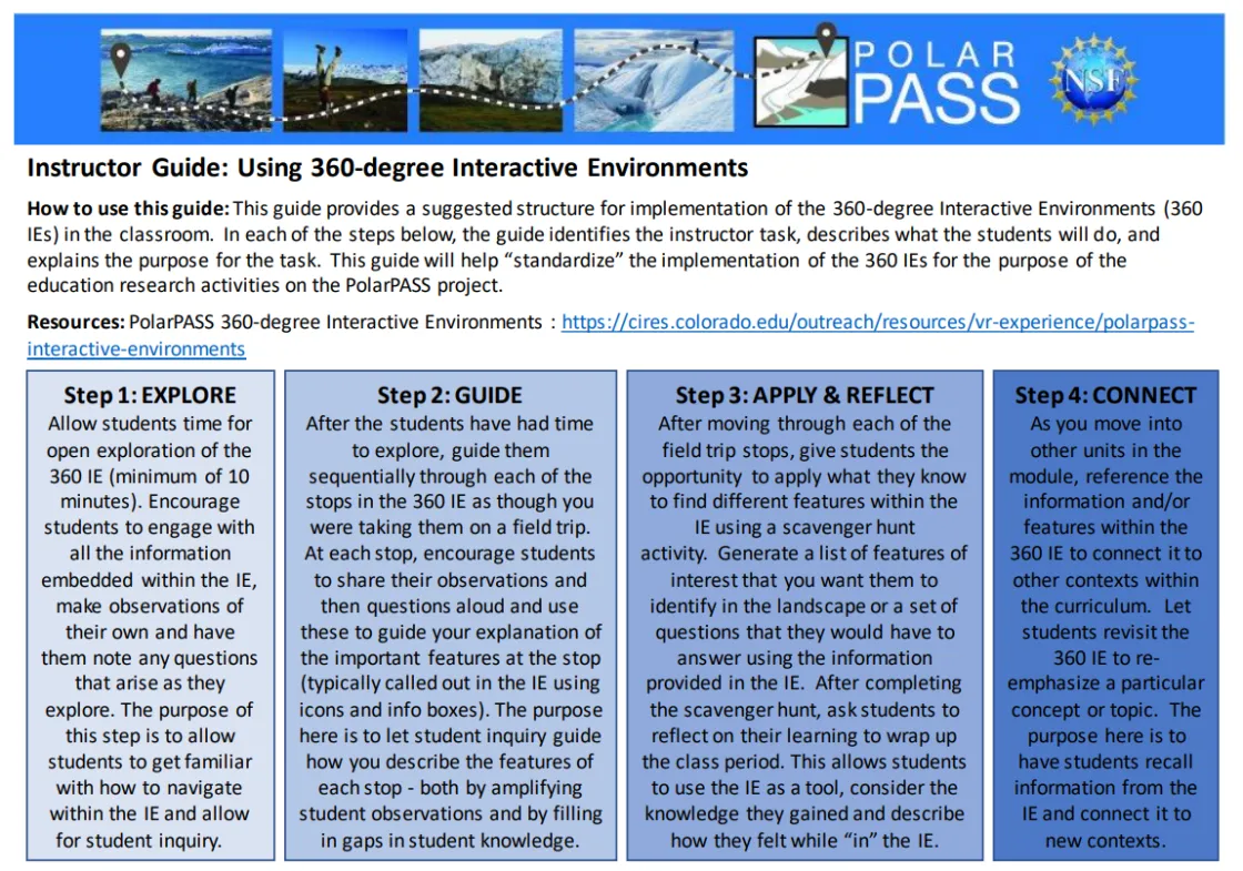
PolarPASS was developed by a team of professional educators and polar scientists from Western Washington University (WWU), the University of Montana Western (UMW), and NSIDC and the Cooperative Institute for Research in Environmental Sciences (CIRES) at the University of Colorado Boulder. It uses authentic geographic information system (GIS) data and 360-degree interactive environments to allow students to conduct “field research” of Greenland from anywhere in the world. The goals for the program are to bring real polar data into the classroom, strengthen students' knowledge of polar science and build student connections to polar places. The lesson plans were constructed with upper-level undergraduate students in mind.
“We are in an exciting era of rapid data generation and retrieval from the polar regions across multiple scales,” said Alia Khan, an affiliate research scientist at NSIDC, associate professor at WWU and co-PI of the project. “Bringing these data into the classroom allows students to gain hands-on experience with data analysis and geospatial data processing. They are developing skills that are sought after by employers upon graduation.”
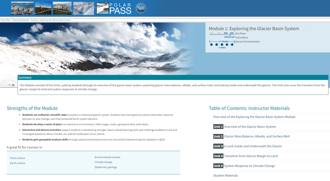
The PolarPASS teaching materials feature two modules to immerse students in polar research, including “Exploring the Glacier Basin System” and “Long-term Spatial Transformations of the Glacier Basin System.” The lessons use immersive imagery and videos collected in the town of Kangerlussuaq, Greenland, and in glaciated environments nearby. The modules have been tested in a wide variety of classes and universities and they include supporting materials for instructors who have not previously used GIS or interactive environments. While there are no other modules planned at the moment, the PolarPASS team is open to collaborating with researchers interested in developing new lesson plans.
“The motivation behind much of the curriculum design was to share our awe and appreciation for the Greenlandic landscape and culture with students who will likely never have the chance to experience such a unique place on their own,” said Spruce Schoenemann, a professor at UMW and co-PI of the project. “The integration of polar data, maps and stunning visuals provide students with an authentic experience to observe the rapid changes occurring in our polar regions.”
In addition to the scientific research process, the PolarPASS modules also focus on place-based education, seeking to connect students emotionally to polar places that they have not visited. According to a study conducted by the PolarPASS team and published in PLOS ONE in October 2023, people tend to develop a connection, or a sense of place, through lived experiences or travel. However, engaging with virtual environments, such as the 360-degree interactive environments the team developed for the PolarPASS modules, can increase a person’s connection to an area, even if they have not physically been there.
“These immersive experiences allow students to virtually visit Greenland and explore the glacial landscape,” said Anne Gold, lead author of the study, director of the CIRES Education & Outreach program and co-PI of the project. “Data collected from course participants show that they increase their sense of place and science content knowledge through their interaction with the course materials.”
PolarPASS is funded by the U.S. National Science Foundation via a grant from the Office of Polar Programs Polar Special Initiatives.

