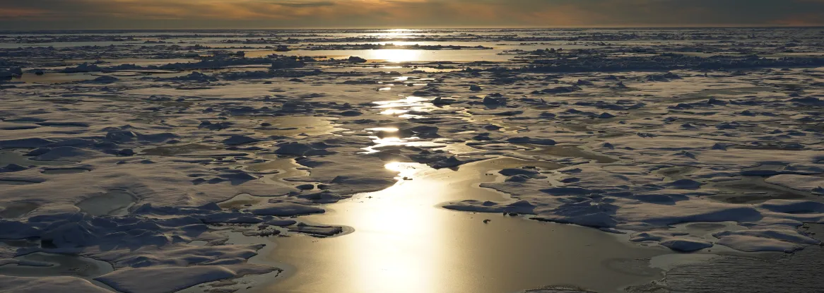
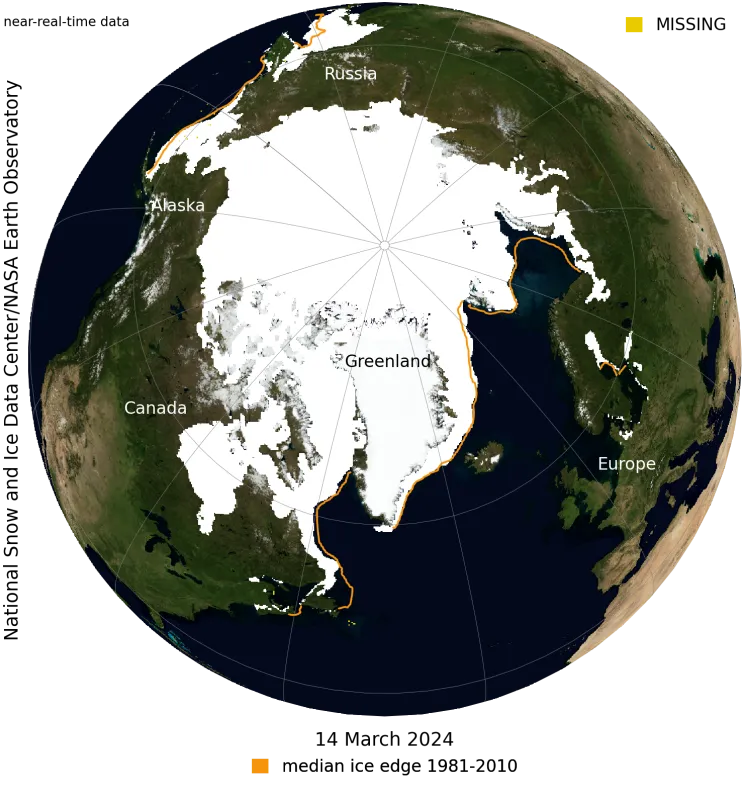
Arctic sea ice has likely reached its maximum extent for the year, at 15.01 million square kilometers (5.80 million square miles) on March 14, according to scientists at the National Snow and Ice Data Center (NSIDC) at the University of Colorado Boulder. The 2024 maximum is the fourteenth lowest in the 46-year satellite record.
“While this year’s maximum extent was not among the lowest in our records, the long-term decrease in extent continues,” said NSIDC senior research scientist Walt Meier. “The winter maximum is not a good indicator of summer sea ice conditions, which are influenced by the thinner ice that now dominates the Arctic as well as spring and summer weather. For example, this year’s maximum is lower than in 2012, when the summer minimum extent set a record low.”
NSIDC scientists stress that the Arctic sea ice extent number is preliminary—continued winter conditions could still push the ice extent higher. NSIDC will issue a full analysis in early April of the possible causes behind this year’s ice conditions, interesting aspects of the growth season, the setup going into the summer melt season, and graphics comparing this year to the long-term record.
Visit the NSIDC Sea Ice Today for more details and images.
See the NASA visualization here and read the feature here.
NSIDC is part of the Cooperative Institute for Research in Environmental Sciences (CIRES) at the University of Colorado Boulder. The Sea Ice Today is supported in part by NASA.

