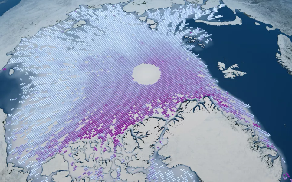
The NASA National Snow and Ice Data Center Distributed Active Archive Center (NSIDC DAAC) will be presenting a hands-on tutorial during the 2019 AGU Fall Meeting, hosted by the ARCUS Arctic Community Meeting Space. This tutorial will demonstrate our data discovery, access, subsetting services, and how to utilize basic open source resources to harmonize and analyze data across different remote sensing products. Our data services team will be presenting this tutorial as a series of Python-based Jupyter Notebooks, focusing on sea ice height and ice surface temperature data from NASA’s ICESat-2 and MODIS missions, respectively, to characterize Arctic sea ice. No coding experience or computing prerequisites are required, though some familiarity with Python and Jupyter Notebooks is recommended. Registration for this tutorial will close on Tuesday, December 10th, so please be sure to sign up to ensure a seat: https://forms.gle/48AiCNPdxbzoUDBH7 When: Wednesday, December 11th, 2:00 - 3:30 PST Hotel Nikko, Room: Monterrey I 222 Mason St, San Francisco, CA 94102 We look forward to seeing you in San Francisco!
Data Announcement
NSIDC DAAC Hands-on Tutorial: Discover, Access, and Harmonize Arctic Remote Sensing Data during the 2019 AGU Fall Meeting
FRIDAY, NOVEMBER 22, 2019
