LVIS: NASA Land, Vegetation and Ice Sensor Facility
Overview
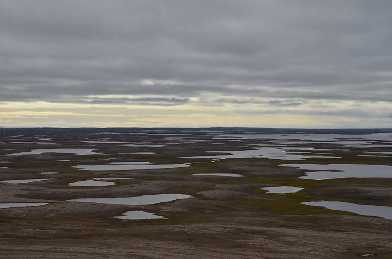
The NSIDC DAAC LVIS collection includes airborne remote sensing data from the NASA Land, Vegetation and Ice Sensor (LVIS) instrument. LVIS is operated by the LVIS Team at NASA Goddard Space Flight Center. LVIS uses lidar scanning laser altimeters to collect topography and vegetation coverage data over land, ocean, and ice surfaces, along with downward-looking, high-resolution camera imagery. Collection periods for LVIS data products at the NSIDC DAAC range from 2007 to present. These data products come from airborne campaigns in the Arctic (Greenland, Alaska, and Canada), the Antarctic, the continental United States, Central and South America, and Africa. Specific campaigns include:
- The Operation IceBridge mission mapped Arctic and Antarctic ice sheets, ice shelves, and sea ice from 2009 to 2020.
- Global Ecosystem Dynamics Investigation (GEDI) campaigns have collected data to provide calibration and validation of the GEDI payload on the International Space Station.
- The AfriSAR campaign collected canopy top and ground elevation data from selected sites in Gabon in February and March 2016.
- The ABoVE campaign collected data from selected sites in northern Canada and Alaska as part of NASA's Arctic-Boreal Vulnerability Experiment (ABoVE) in June and July 2017.
- The ICESat-2 Calibration/Validation campaign collected data in the Arctic Ocean including along ICESat-2 reference ground tracks in July 2022.
The NSIDC DAAC distributes Level-1A, Level-1B, and Level-2A LVIS data products encompassing:
- Geolocated return energy waveforms
- Geolocated surface elevation and canopy height measurements
- Geotagged visible imagery acquired by mapping cameras
- Georeferenced imagery for a select subset of LVIS data
Gathering data on elevation and structure, LVIS produces topographic maps accurate to within one-tenth of a meter. These data can be applied to research on:
- Surface topography of oceans, land surfaces, glaciers, ice sheets, and sea ice
- Vegetation height and structure
- Surface heights of human-made features
LVIS observations can be combined with other data and model results to address questions about biodiversity, and about Earth’s carbon and water cycles.
Parameters
Surface elevation, canopy height, infrared waveforms, visible imagery
Geographic coverage
Arctic, Antarctica, Greenland, Africa, North, South and Central America
Related collection(s)
Explore images from LVIS