Why do coastlines from various sources not match each other exactly?
For example, the MASIE-NH coastline has slight differences with the Arctic coastline available from the Toolik-Arctic Geobotanical Atlas. The differences are most apparent on the north east coast of Greenland.
There are numerous images and maps of coastlines available from various sources and many data sets at NSIDC, such as MASIE-NH, also have their own land, ice and ocean masks. Overall, at large scales, coastlines from different sources agree with each other (Figure 1). However, please be aware that at smaller scales (a few km) there can be some slight disagreements in certain areas of coastline (Figure 2). None of the coastlines seem to match each other exactly for the entire coastline. These small variations could be due to different spatial resolutions, how and when the image/map was generated and what data the images/maps are based on.
Figure 1 (below): Comparison of the land mask from MASIE-NH (colored map) and the coastline and treeline from the Arctic Atlas (black outline, http://www.arcticatlas.org/maps/themes/cp/cpcoast). Both are in Arctic Polar Stereographic Projection (EPSG: 3995).
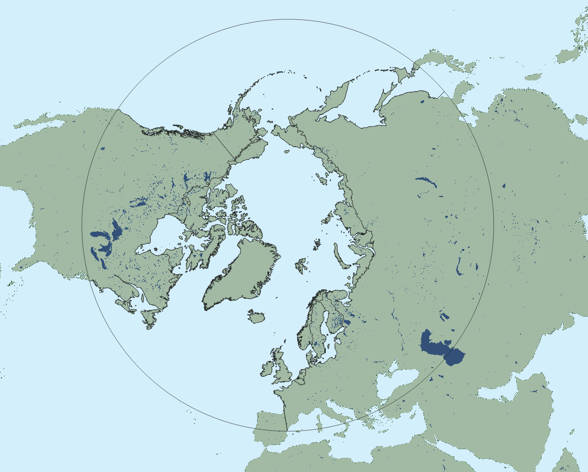
Figure 2 (below): Zoomed in image of Figure 1, focusing on the Greenland coastline. For the majority of the coastline the two maps agree, but for a small area of NE Greenland there is a slight disagreement.
