By Laura Naranjo

When NSIDC lead scientist Kevin Schaefer ventures up to Alaska’s North Slope, he is looking for exposed blocks of ice and water-filled depressions scattered across the vast plains. These landscape features provide clues about permafrost, or permanently frozen ground, which underlies 24 percent of Earth’s Northern Hemisphere, including nearly all of Alaska and much of Canada and Russia.
Permafrost can extend 2,200 feet (700 meters) deep on the North Slope, with a layer at the surface that thaws seasonally. The repeated freezing and thawing of this layer, which scientists call the active layer, slowly churns the soil, deforming it or leaving marshy ponds and bogs behind.
As the Arctic warms, the active layer is expected to deepen, possibly thawing the entire permafrost layer in some areas. Scientists measure its thickness to track and understand the overall condition of the permafrost.
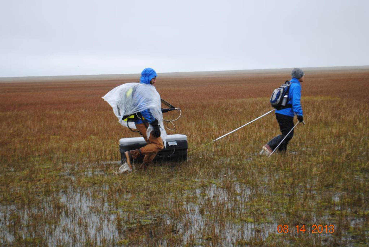
However, measuring the thickness of the active layer in the field is time consuming and expensive. “The sites are remote and hard to get to. And they only provide a single point measurement,” Schaefer said. “There’s a strong incentive to get broader measurements.” So Schaefer is leading the Remotely Sensed Active Layer Thickness (ReSALT) project to develop a way to monitor the active layer remotely, using a combination of satellite, aircraft, and ground-based data, as part of the NASA’s Arctic Boreal Vulnerability Experiment (ABoVE).

Shaping the landscape
Because water expands when it freezes, moisture in the active layer causes the ground to heave up in winter. When this ice melts during short summer seasons, the ground subsides. The permafrost often contains wedges and layers of pure ice, which drain when they melt, leaving depressions that turn inot small, shallow lakes. Although these freeze-thaw features are expected in a permafrost landscape, changes in the active layer accelerate or spread these processes, hinting at the overall stability of the permafrost below.
Schaefer and his team measured the active layer at existing Circumpolar Active Layer Monitoring (CALM) sites in Alaska using probes and ground penetrating radar. The researchers then created interferograms—satellite images of the same terrain taken at different times—with data from the Phased Array type L-band Synthetic Aperture Radar (PALSAR) aboard the Advanced Land Observation Satellite (ALOS). Overlaying and geographically registering the images reveals changes in the landscape. “You get a stack of usable interferograms to get seasonal subsidence,” Schaefer said. “That tells us the active layer thickness.”
The team validated their remotely-sensed findings against data from the CALM sites as well as Ground Penetrating Radar measurements. ReSALT data accurately measured active layer depth in 76 percent of their study area. This helped them identify where the process was most successful, and where they needed to improve the algorithms processing the interferograms.
Scratching the surface
As temperatures in the Arctic rise, Schaefer and his colleagues hope to create a time series to help reveal how the active layer and underlying permafrost respond to warming. “We’re going to try to come up with an overall statement of what’s going on in the region,” he said.
Schaefer’s work is part of the ten-year NASA-sponsored field campaign of the Arctic-Boreal Vulnerability Experiment (ABoVE). The data from the project will be archived and freely available from the NASA-supported NSIDC Distributed Archive Active Center.
Although the ALOS mission ended in 2011, it provided a good foundation for tracking active layer thickness. Schaefer hopes follow-on missions will continue the time series and even generate operational products in the future. “InSAR is actually very useful for studying permafrost dynamics,” Schaefer said. “We’ve just scratched the surface of what we can do.”
Erratum
An earlier version of this story stated that permafrost underlies 58 percent of the Northern Hemisphere. This was corrected to 24 percent on February 22, 2019.
For more information
NASA Remotely Sensed Active Layer Thickness (ReSALT)
NASA Arctic-Boreal Vulnerability Experiment (ABoVE)
Reference
Schaefer, K., L. Liu, A. Parsekian, E. Jafarov, A. Chen, T. Zhang, A. Gusmeroli, S. Panda, H. A. Zebker, and T. Schaefer. 2015. Remotely Sensed Active Layer Thickness (ReSALT) at Barrow [now Utqiaġvik], Alaska, using interferometric Synthetic Aperture Radar. Remote Sensing 7: 3,735-3,759. doi: 10.3390/rs70403735.