OpenAltimetry
Discover and visualize altimetry data across the globe
A map-based visualization tool for exploring surface elevation data across the Earth, over time

How to use OpenAltimetry for ICESat-2 data
The OpenAltimetry ICESat-2 interface has many powerful tools. Check out this guide to how to use the interface before you dive into exploring.

Go to OpenAltimetry
Visualize and download surface height elevation profiles of land ice, sea ice, land and vegetation, sea ice freeboard, ocean surface, and inland water surface.

How to use OpenAltimetry for ICESat data
Learn tips and tricks for how to use OpenAltimetry to explore surface elevation data from the ICESat/GLAS satellite mission.
What is OpenAltimetry?
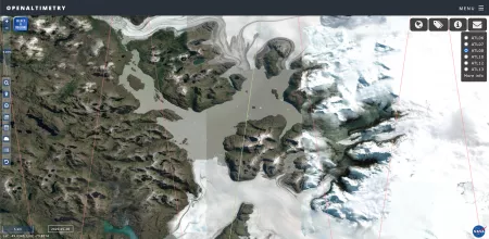
NASA’s OpenAltimetry (OA) is a free and powerful map-based data visualization and discovery tool for exploring surface elevation profiles from ICESat-2 and ICESat satellite mission altimetry data. With OA, users can explore how different types of surface heights have changed across the Earth over time, and all you need is a web browser.
