NOAA@NSIDC

Stewards of data, past and present

Learn how NOAA@NSIDC data are being used in research, and read updates and spotlights on how you can use the data, tools and resources we offer. If you are using NOAA@NSIDC data in your research, teaching or some other way, let us know and we may feature your work in our next article. Share your story with us today.
News & Stories

Filter by:
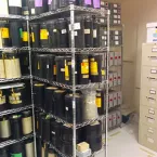
film-canisters_3
In 1996, NSIDC received ninety-nine canisters of ungainly film rolls. Each stored hundreds of photographs, most of sea ice, but also glaciers, land, snow cover, and coastlines dating as far back as 1962. The photographs, part of the U.S. Navy-initiated Project Birdseye, offered never before seen images of the Arctic.
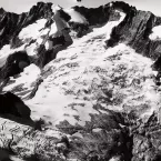
douglas1960092701_3
Photographer and glaciologist Austin Post (1922-2012) sometimes lugged his large-format camera weighing more than 60 pounds up mountain trails to photograph glaciers.
nov11_fig1_1
The rising interest in Arctic sea ice is the inverse of its decline: less ice equates to more demand for reliable data on sea ice conditions. But with decades of data from multiple satellite sensors and multiple research groups, where do researchers turn for the most reliable long-term view? In answer, NSIDC has produced a Climate Data Record for sea ice concentration, an important indicator of sea ice health and Arctic climate.
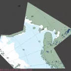
barents_masie_17Dec2010_3
Stringing around the Arctic for tens of thousands of miles, the edges of the sea ice pack are a maker of seasons and ecosystems. As seasons and climate and local weather change, so does the position of the ice edge.
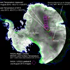
Nansen_glacier_3
With few exceptions, glaciers around the world have retreated over the last century. Some ice caps, glaciers, and shelves have disappeared altogether. Many more are retreating so rapidly that they may vanish within decades.