By Jane Beitler
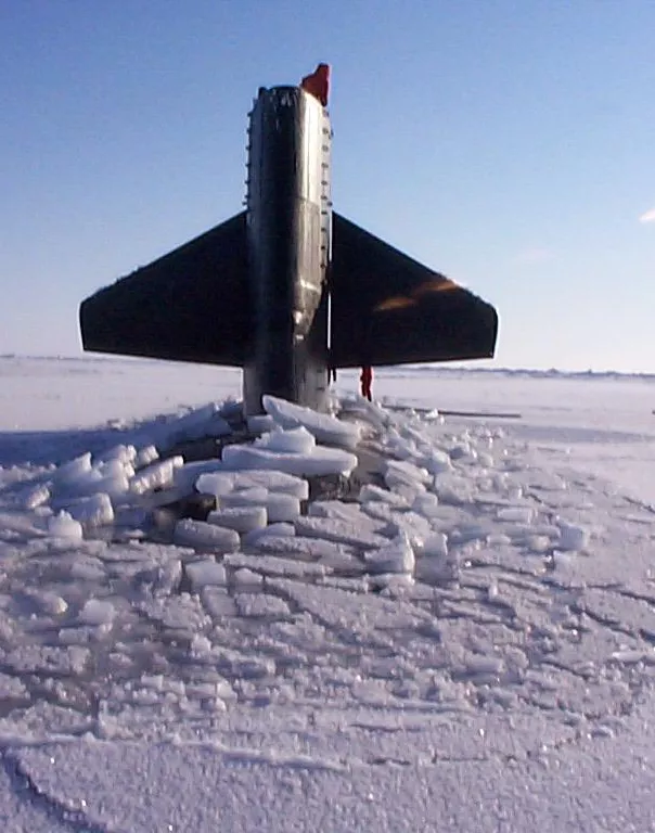
Lurking beneath the thick Arctic Ocean ice, a US Navy submarine probed the dark waters. The sub hugged the ocean floor, seeking passage through ridges of ice (called keels) hanging from the underside of the ice cover. Walls of ice appeared unexpectedly, threatening to box in the submerged craft and its crew. As navigators finessed the sub with white knuckles through this uncharted undersea maze, other crew used upward-looking sonar to measure the thickness of the ice sheet overhead.
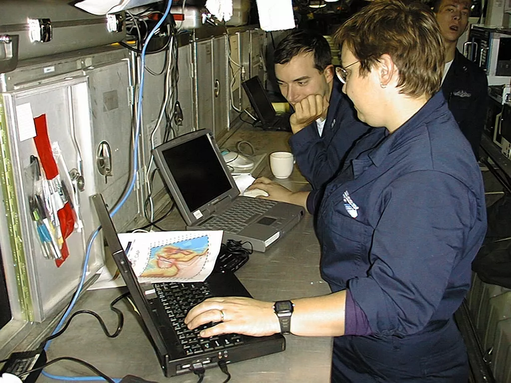
These submarine crews used their nerve and skills in a unique cooperation between the US Navy and scientists. From 1995 to 1999, Navy submarines made an annual cruise under the ice to collect research data on ice and ocean conditions. Until recently, some of the data from these submarine missions, called SCICEX (Science Ice Exercise) had no home, and were scattered among several institutions. NSIDC is leading the efforts with other data centers to create a SCICEX data archive, ensuring their preservation and access for continued research.
A unique view from below
Remote and inhospitable, the Arctic Ocean had long resisted a comprehensive analysis. But when weather and ice canopy limit work from ice camps and air reconnaissance, submarines can operate. So SCICEX data constitute one of the best mappings of the ice canopy in the central Arctic Basin, collecting an extraordinary volume of ice draft measurements, and orders of magnitude more depth soundings of the Arctic Basin than ever before. SCICEX observations have helped scientists form and validate hypotheses about the oceans and climate. Perennial ice in the Arctic Ocean influences both Earth’s surface heat balance and the thermohaline circulation of its oceans: both the Atlantic and Pacific Oceans have their northern boundaries there. During the 1990s, SCICEX scientists were some of the first to notice marked changes, such as thinning of the present-day Arctic sea ice and changes in Arctic Ocean water temperature.
Data management in retrospect
SCICEX data never had a management scheme defined, so NSIDC is working to organize these data that are currently spread out over many different desk drawers, so to speak, of the original research teams. NSIDC’s goal is to ensure that the different SCICEX data types, including upward looking sonar (ULS) ice draft measurements, bathymetry, and ocean nutrient and chemistry data, can be discovered and cross-referenced among the various disciplines and data centers that will ultimately house them. NSIDC currently archives and distributes the ULS data, and is in the process of receiving the bathymetry data, working with the National Geophysical Data Center (NGDC) for archive. NSIDC will also work with the National Oceanic Data Center (NODC), who will ingest and archive the nutrient and chemistry data, and with the Lamont-Doherty Earth Observatory (LDEO) on pathways for securely archiving future submarine data. These data continue to hold vital information for researchers in climate, cryosphere, and marine sciences—but only if they can be found and used. For more information about SCICEX data, visit the NOAA@NSIDC SCICEX Project Web site. See also the Lamont-Doherty SCICEX site for more information about the SCICEX cruises and research.

