About Sea Ice Today
The Arctic is warming up to four times faster than the global average, and as a result, sea ice in the Arctic Ocean is decreasing. Sea ice loss has far-reaching effects on the planet because the ice helps regulate Earth’s climate, influences global weather patterns, and affects ocean circulations. Sea Ice Today began as a way to make sea ice science and analysis more relevant and accessible. In combination, NASA data and NSIDC expertise provide easy-to-use resources and tools to increase our understanding of climate change in the Arctic.
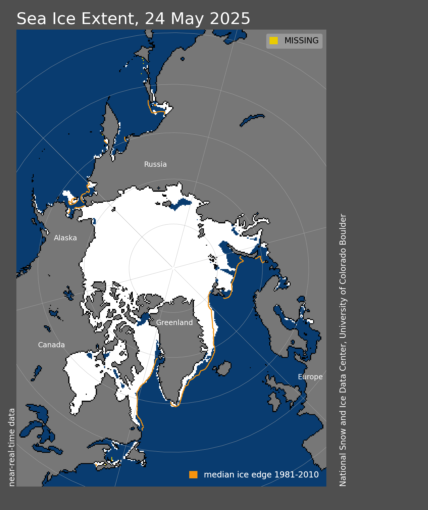
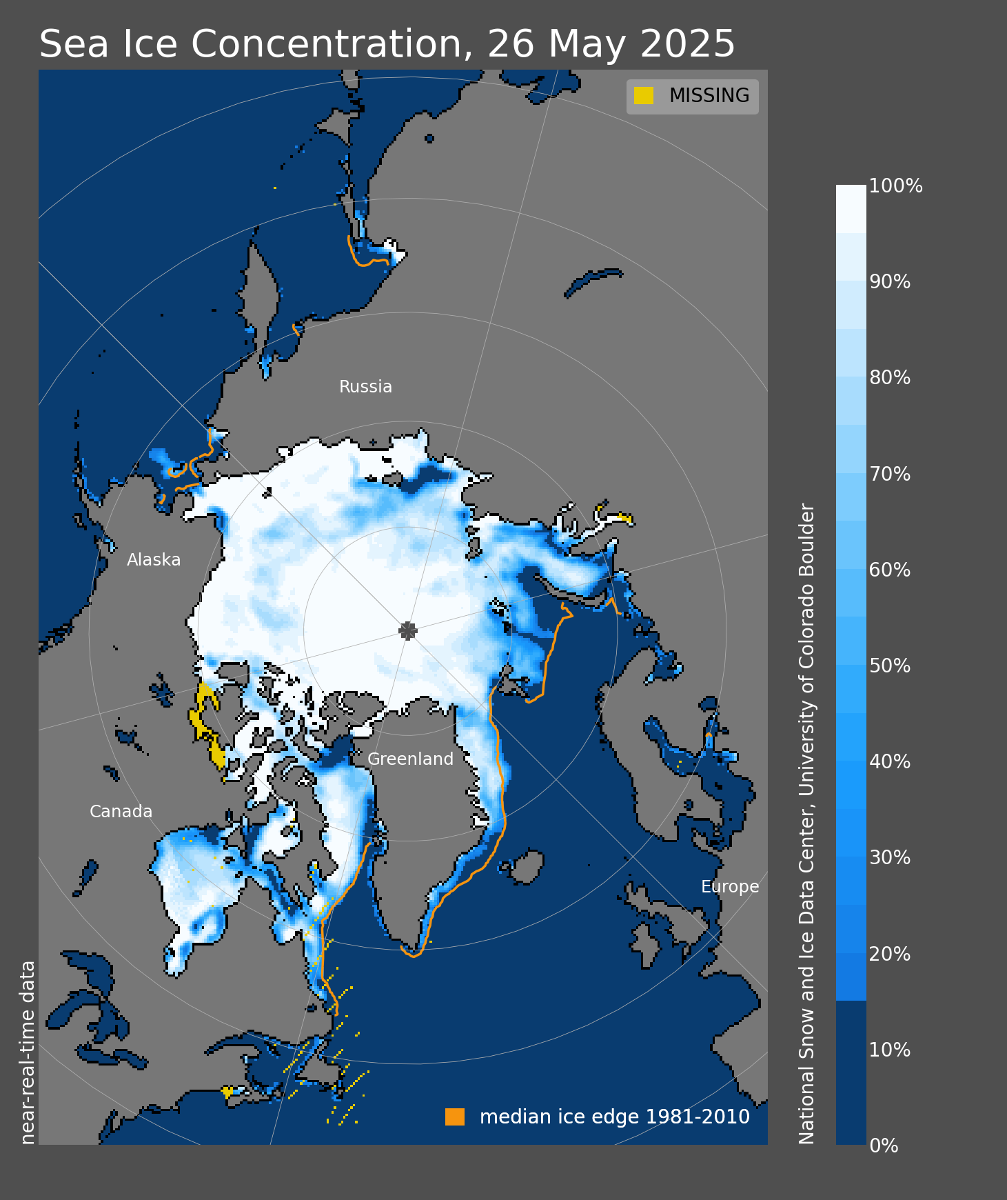
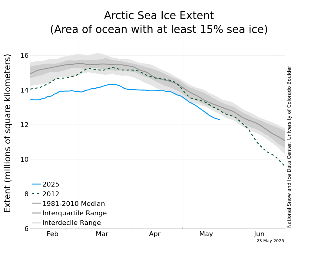
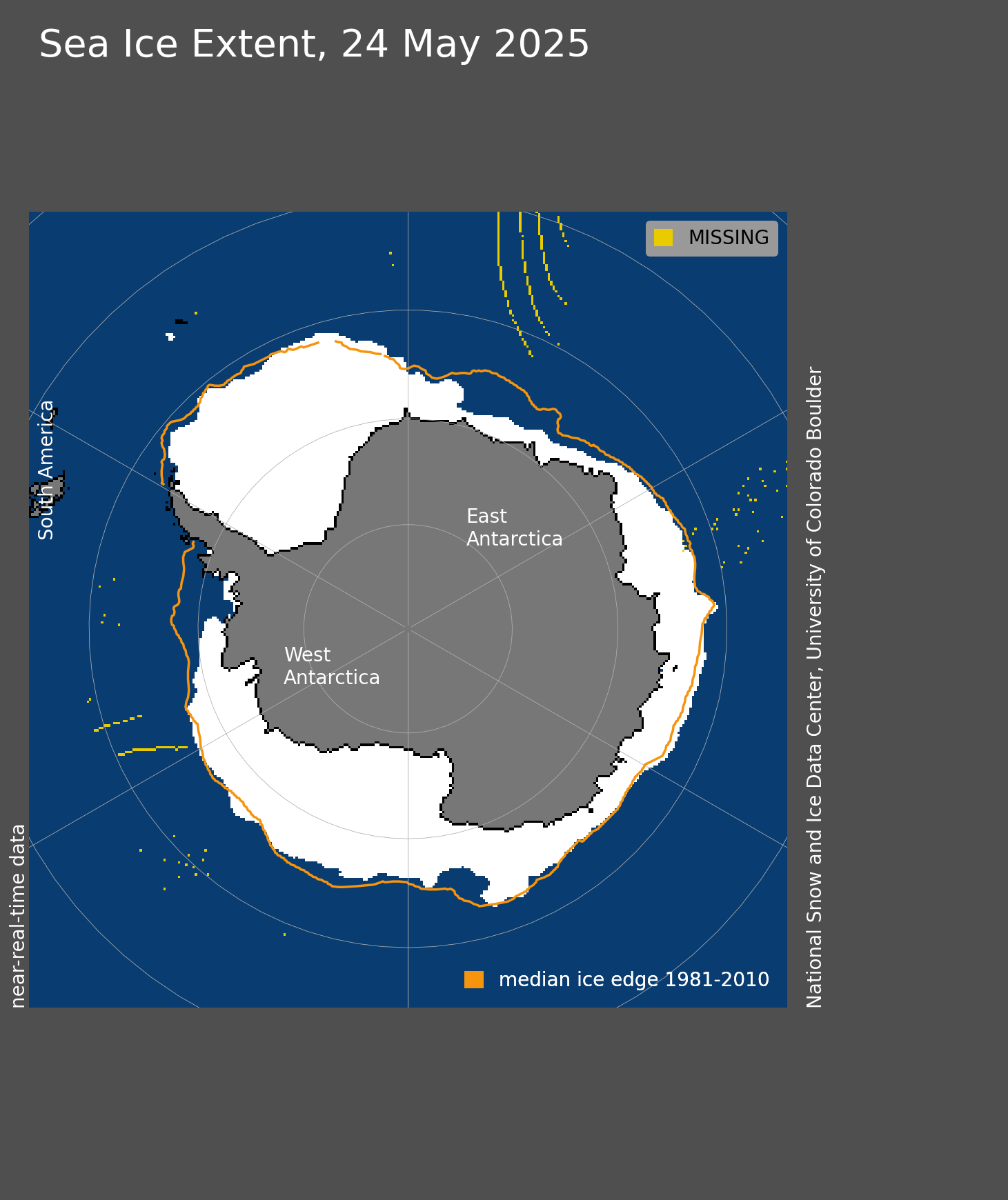
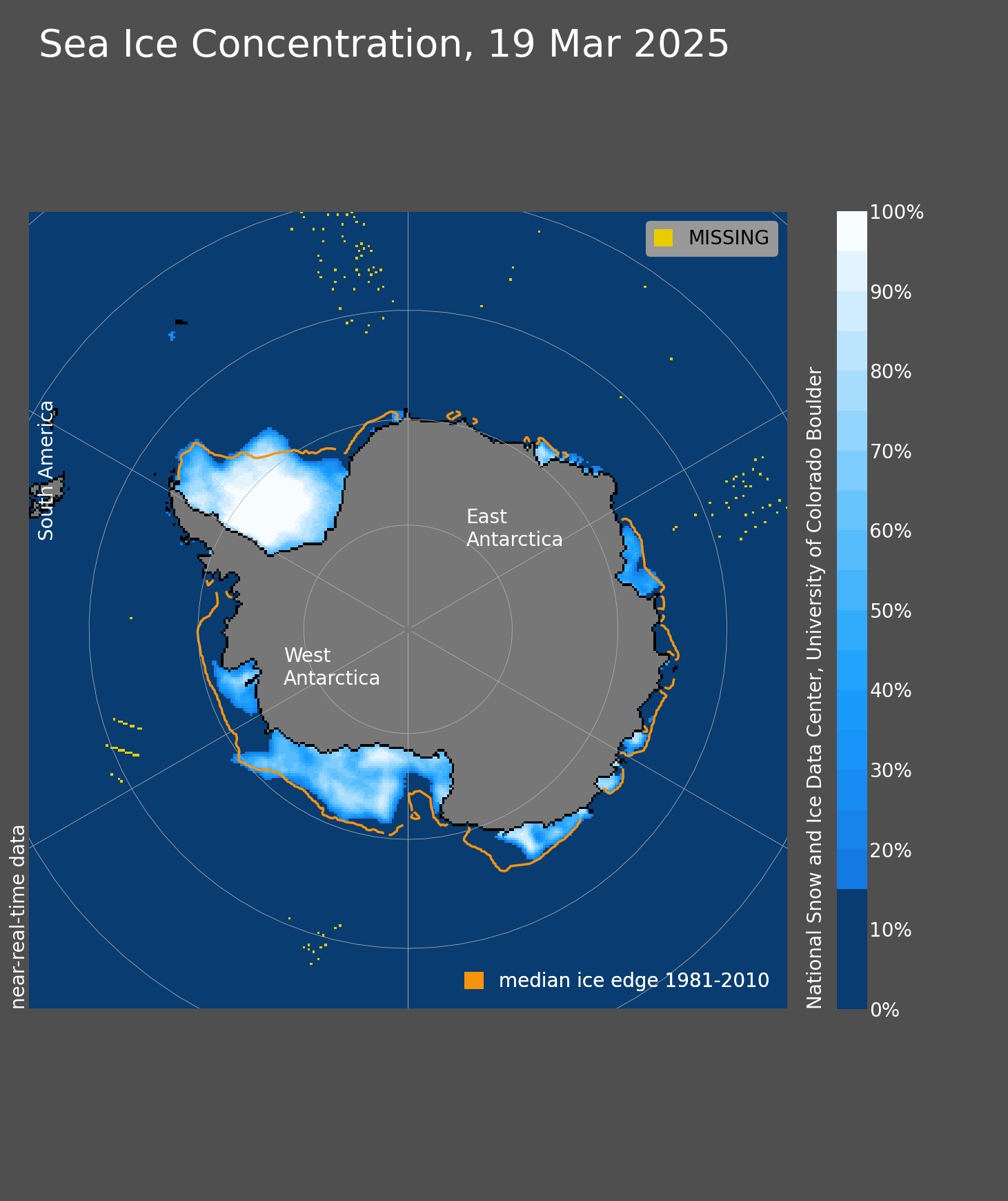
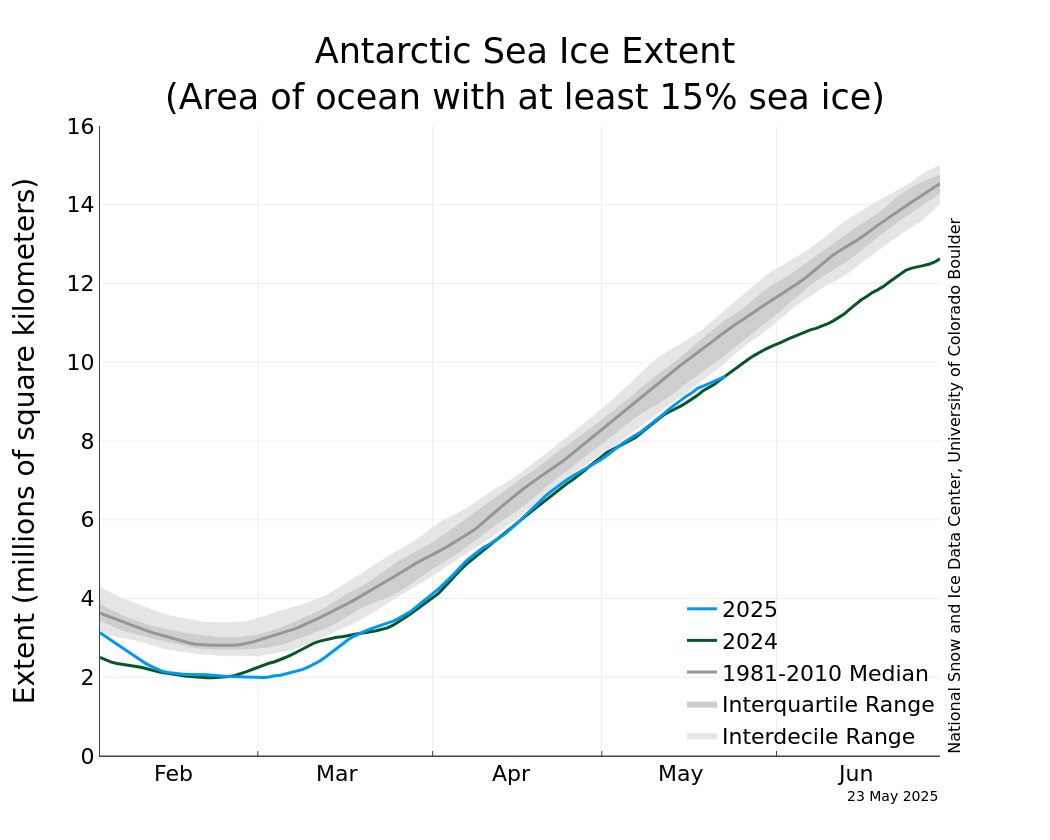
Since 2007, this site has been a go-to source for blog-like insights, analysis, and data visualization tools that communicate how sea ice has been changing from year to year. We receive over two million page visits a year and our content is used by a wide range of users including journalists, the general public, academics, and scientists alike. Our analyses focus primarily on sea ice extent, which is a measurement of the area of ocean where there is at least some sea ice. In the Arctic, the annual minimum sea ice extent occurs in September and the annual sea ice maximum extent occurs in March. In the Antarctic, the minimum extent occurs in February and the maximum occurs in September. When compared with previous years and decadal averages, these periods when the annual extremes occur are particularly important indicators of how much ice is being lost over time.
This website is funded by the Climate Science and Communication Fund from Surge Climate Talent and managed by NSIDC that provides the latest satellite data and scientific analyses of sea ice conditions in the Arctic and around Antarctica. Sea Ice Today was originally known as Arctic Sea Ice News & Analysis (ASINA) from 2007-2024; it was then rebranded as Sea Ice Today.
Learn more about the history of Sea Ice Today and ASINA.
Acknowledgments
Sea Ice Today is produced by the National Snow and Ice Data Center (NSIDC), which is part of the Cooperative Institute for Research in Environmental Sciences (CIRES) at the University of Colorado Boulder. Researchers Walt Meier, Ted Scambos, Mark Serreze, and Julienne Stroeve regularly contribute to Sea Ice Today, sometimes featuring guest authors. Past and present NSIDC staff have supported Sea Ice Today: Kevin Beam, Andy Barrett, Lisa Booker, Michael Brandt, Florence Fetterer, Matt Fisher, Agnieszka Gautier, Marin Klinger, Jonathan Kovarik, Jed Lenetsky, Luis Espinosa Lopez, Audrey Payne, Bruce Raup, Matt Savoie, Trey Stafford, Natasha Vizcarra, Bruce Wallin, and Ann Windnagel.
We gratefully acknowledge new funding from the Climate Science and Communications Fund. The Fund represents a collaborative group of donors and scientists dedicated to supporting climate scientists and communicators and is administered by Surge Climate Talent. The views expressed in Sea Ice Today are those of the NSIDC science team and do not necessarily reflect the views of Surge Climate Talent.