By Natasha Vizcarra
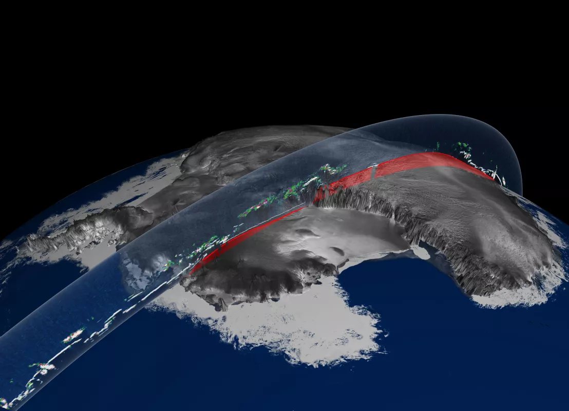
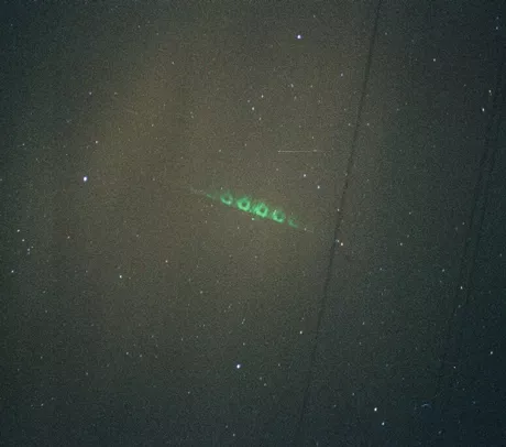
Data wranglers will agree that the worst thing that can happen to a data set is for it to become orphaned. Even before NASA decommissioned the Ice, Cloud, and land Elevation Satellite (ICESat) in 2010, the space agency chose the National Snow and Ice Data Center (NSIDC) as the permanent home for the satellite’s data. NSIDC is steadily preparing data from the satellite’s sole instrument—the Geoscience Laser Altimeter System (GLAS)—for the long haul. “There have been missions in the past when researchers stop using the data after these became difficult to access or the documentation had gone away,” said Doug Fowler, who leads the product team for GLAS. NASA is making sure that GLAS data will remain available to earth science researchers by permanently archiving the data, software, and user documentation at NSIDC. Program and mission documentation on ICESat will reside on the NASA Technical Reports Server.
“GLAS was the first space-borne laser altimeter and it collected elevation data over ice sheets and sea ice better than any previous satellite instrument, so it is important to keep its data available and compatible with missions that follow it,” Fowler said.
Beyond binary
ICESat circled Earth for seven years, collecting data that are crucial for understanding ice sheet mass balance and sea level change. It measured cloud and aerosol profiles for studies of atmospheric processes. The satellite also collected elevation data over land and vegetation. Data collected over forests are especially important for studying how much carbon is stored in the world’s trees.
ICESat was decommissioned in August 2010 and its successor, ICESat-2, is expected to launch in late 2015. “We are archiving a copy of all ICESat data in the format that ICESat-2 data will be in to preserve the time series of available data,” Fowler said. ICESat data have been offered in binary format, but storing and offering the data in HDF5 format will make the extremely large and complex data collection easier to manage. NSIDC will continue to offer ICESat data in binary format and will start offering the data in HDF5 format in September 2012.
From GLAS to MABEL to ATLAS
NASA has also been working on GLAS's successor. ICESat-2 will use a new type of laser altimeter instrument for measuring elevation, and will acquire far more data. To test the instrument concept, and develop accurate software to process the data, NASA has been flying an instrument called Multiple Altimeter Beam Experimental Lidar (MABEL) on high-altitude aircrafts to simulate measurements that the Advanced Topographic Laser Altimeter System (ATLAS)—GLAS’s successor--will be making from space.
MABEL and ATLAS are photon-counting laser altimeters, meaning they measure distance by detecting just a few photons from each laser pulse and timing their round-trip travel from satellite to earth and back extremely accurately. While GLAS used millions of photons to make a single distance measurement, MABEL and ATLAS gather a data set of just a few dozen photons at most, and produce a cloud of points describing the snow or land or vegetation surface structure. Sophisticated software will determine the location of the surface track, the tops of the tree canopy, or the amount of dust or fog in the air. In the meantime, NASA's Operation IceBridge began in 2009 with the goal of using airborne lasers and other sensors to bridge the gap in polar observations between ICESat and ICESat-2. The surveys will collect data in selected areas of the Arctic and Antarctica until the launch of ICESat-2.
To learn more about GLAS data at NSIDC, visit the ICESat/GLAS Web page.
To learn more about ICESat progam and mission documentation, visit the NASA Technical Reports Server.
For more information about IceBridge, visit the NSIDC Distributed Active Archive Center's IceBridge Data Web page.

