Our Research
As climate changes, how do Earth's frozen areas affect our planet and impact society?
In this section
Related News & Stories
Filter by:
Spotlight
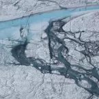
The extreme summer melt of 2012 caught many by surprise, and prompted NSIDC to develop a new Web site to help track Greenland’s ice. This site, Greenland Ice Sheet Today, features daily melt images and images showing cumulative melt days on the ice sheet.
Feature Story
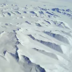
Much like waves on the ocean, megadunes form against the wind with scavenged snow rising only a few meters high but running tens of miles long and up to two miles wide. Ted Scambos, along with a team of scientists from around the world, use a combination of satellite remote sensing and field-gathered datasets to map the extent of wind glaze in the East Antarctic Ice Sheet (EAIS) plateau.
Ice Sheet Analysis
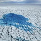
Greenland Ice Sheet Today offers the latest satellite data on surface melting of the Greenland Ice Sheet. Surface melt on the ice sheet results from daily weather conditions that are driven by air temperatures, winds, and feedback effect from

Spotlight
Perhaps the longest and most consistent series of satellites is Landsat, and early next year a new Landsat will fly. This new eye in the sky promises not just to keep the record going, but to provide more detail on Earth’s forests, oceans, croplands, savannahs, snow, ice, and more.
Feature Story
The rapid retreat and thinning of the Arctic sea ice cover is one of the most striking manifestations of global climate change. As the ice continues its sharp downward trend scientists want to understand exactly what this means for the Arctic and for Earth’s climate as a whole.
