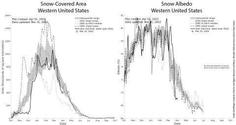
Figure 2. The left graph shows the total snow-covered area over the western United States in relation to the 22-year satellite data. The graph on the right shows the average snow albedo over the western United States in relation to the 22-year satellite data. — Credit: Karl Rittger, Institute of Arctic and Alpine Research and Mary J. Brodzik, National Snow and Ice Data Center
