Our Research
As climate changes, how do Earth's frozen areas affect our planet and impact society?
In this section
Related News & Stories
Filter by:
Spotlight
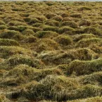
Recent analysis of model results by NCAR and NSIDC scientists suggests that global warming may decimate the top 10 feet (3 meters) or more of perennially frozen ground across the Northern Hemisphere, potentially altering ecosystems as well as dama
Spotlight
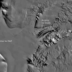
NSIDC has just released a new, high-resolution image mosaic of the Antarctic continent and surrounding islands. The map, called the MODIS Mosaic of Antarctica (MOA), is the best representation to date of the Antarctic continent surface.
Spotlight
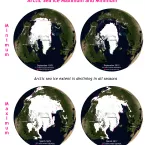
Besides a strong summer decline in ice concentration, the Arctic now shows a winter decline as well.
Spotlight
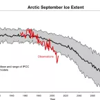
On 16 November, the US Senate Committee on Commerce, Science and Transportation held a hearing about Global Climate Change to hear testimony on the assessment recently released by the Arctic Council and the International Arctic Sciences Committee.
