Images of Antarctic Ice Shelves
Sabrina Coast
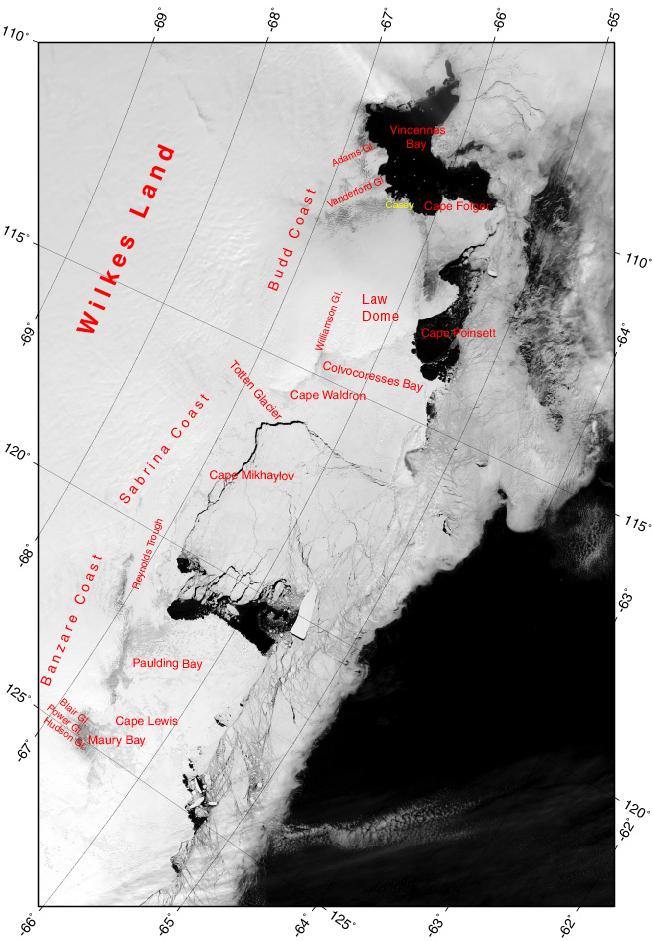
Location Map: MODIS image from 01 December 2002, 01:05
To download a grid/placename overlay like the one in the above image, click here.
Select another ice shelf
Projection Information
Projection: Polar Stereographic
Datum: WGS84
Standard Parallel: -71.0
Corner Coordinates:
UL: 69.999348S 109.997605E
LL: 66.032441S 128.667431E
UR: 63.245852S 104.693788E
LR: 60.253637S 119.968062E
Number of Rows (MODIS): 3600
Number of Columns (MODIS): 3200
Meters per Pixel (MODIS): 250

