Airborne Snow Observatory (ASO)
Overview
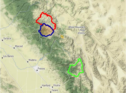
The NSIDC DAAC Airborne Snow Observatory (ASO) data collection includes snow depth, snow water equivalent, and lidar point cloud terrain models derived from airborne remote sensing campaigns conducted over the western United States. From 2013 to 2019, this NASA campaign collected hyperspectral and lidar data of snow melt in parts of Colorado, California, Oregon, and Washington. Missions were usually flown in late winter and late summer, facilitating comparisons of snow-covered and snow-free conditions.
The hyperspectral data quantifies snow albedo: how much of the sunlight that reaches the snow surface is reflected back into space versus how much of the sunlight is absorbed. The lidar, which stands for Light Detection and Ranging, measures snow depth relative to snow-free data. These observations served as the basis for data sets in this NSIDC collection.
ASO was a collaboration between NASA's Jet Propulsion Laboratory, the California Department of Water Resources, and other state and local entities. Supported by NASA’s Terrestrial Hydrology and Applied Sciences programs, ASO was the first combined airborne imaging spectrometer and scanning lidar system developed specifically for snow and water resources monitoring and research.
ASO’s primary science objectives included:
- Quantifying snow water equivalent and snow albedo for entire mountain watersheds
- Improving knowledge of snow properties and their spatial and temporal variability
- Providing input data for future water-management models and systems
Worldwide, some 1.5 billion people rely on snow melt for water. Insights gained from this mission can be applied to water management in places across the globe where snowpack provides crucial water resources.
Parameters
Terrain elevation, snow depth, snow water equivalent
Geographic coverage
Western United States
Related collection(s)
Access to future ASO data
ASO has transitioned to a commercial entity. NSIDC continues to provide data access for missions conducted between 2013 and 2019, including data acquired for SnowEx 2017. Future data will be available at the discretion of funding agencies, the majority of whom mandate public data access. Data from ASO flights in support of SnowEx 2020 and beyond will be available as part of the SnowEx product suite at NSIDC DAAC.
Explore images from ASO